
Leicester City - Flooding Engagement
We're here to help!
This page brings together key resources to help you:
- recover from flooding
- prepare for flooding
- become resilient to flooding
Please use the Personalised Flooding Guide (click the link) to find all the information relevant to your specific needs. It contains the best links, guidance, and tools to support you, your family, and your community. All information in the guide is also available in the sections 'Recover/protect yourself from flooding' and 'Other helpful information'.
Why we've created this page
Climate change is worsening flooding. This includes the January 2025 floods in Leicester, which were caused by intense rainfall and rapid snowmelt on saturated and frozen ground, with most rivers exceeding the record high levels set only the previous January!
It is now more essential than ever that we work closely with communities, to listen to your needs and experiences. Together we can better protect and support those at risk.
 |  |
Aylestone Meadows in flood | The height water levels reached in Belgrave during the flooding in January 2025. |
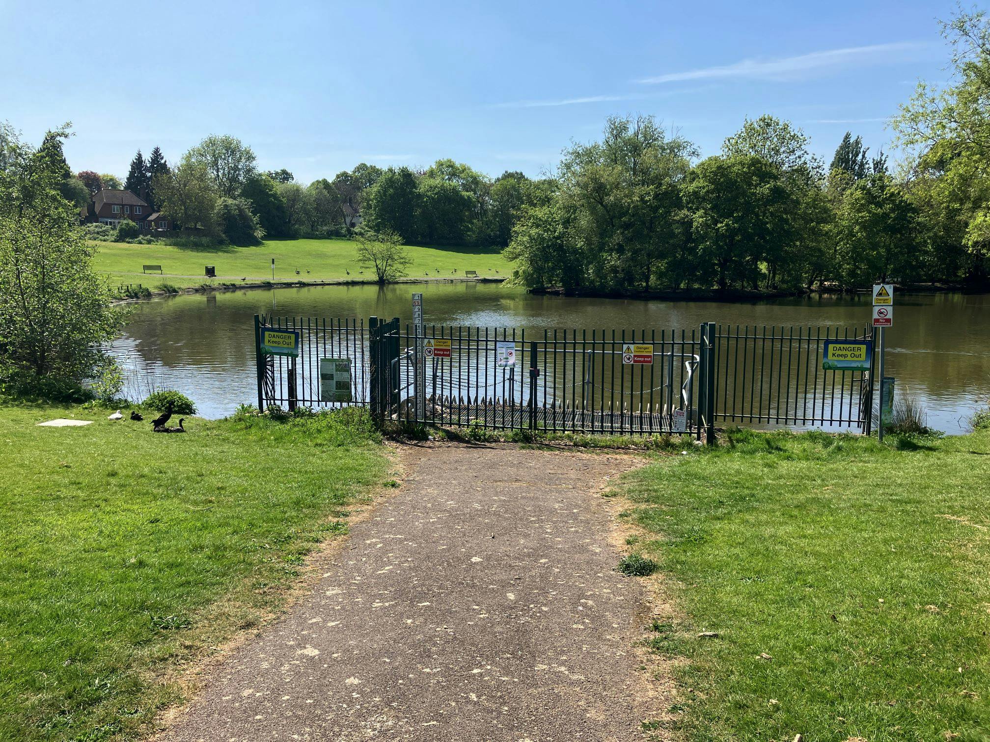
Tip - double tap the 'Ctrl' key while hovering over any image with the cursor/mouse to be able to zoom in on it.
Get involved
- Use the Discussion tool below to engage with others in the community.
- Provide us with feedback by taking the Survey. We'll develop the page in response to this, via quarterly updates. Please check back every few months to see these.
- Subscribe to receive an email notification with any vitally important updates.
- If you would like to ask the Environment Agency any questions or to report problems, email - emdenquiries@environment-agency.gov.uk.
- To report urgent problems call the incident line on 0800 80 70 60. This page isn't monitored for such issues. Further contacts/info can be found here (click 'Read Bio' under each contact to see more details).
Use the headings below to switch between the interactive tools:

Being prepared and resilient to flooding
Property Flood Resilience (PFR)
Planning, Developments, and Flood Risk Activity Permits

Partners & Contacts
-
Risk Management Authority - main river, sea and reservoirs

Phone Incidents 0800 80 70 60 Email EMDenquiries@environment-agency.gov.uk
Twitter (EA)

Photos and Videos

Videos
-
 The role of the Environment Agency in the planning system is to provide flood risk advice to inform the decisions made by local authorities on planned development. This also includes translating the latest climate science to create user friendly guidance on how climate change can affect flood risk in the future. Both decision makers and developers can utilise this guidance.
This video will be useful for local authority planning officers and elected members in England, planning school students and anyone else with an interest in planning for flood risk.
https://www.tcpa.org.uk/resources/planning-for-flood-risk-in-england/
The role of the Environment Agency in the planning system is to provide flood risk advice to inform the decisions made by local authorities on planned development. This also includes translating the latest climate science to create user friendly guidance on how climate change can affect flood risk in the future. Both decision makers and developers can utilise this guidance.
This video will be useful for local authority planning officers and elected members in England, planning school students and anyone else with an interest in planning for flood risk.
https://www.tcpa.org.uk/resources/planning-for-flood-risk-in-england/
-
A swipe/slider comparison showing how the River Soar floodplain downstream of Leicester City looks normally, versus how it looked on the 8th January 2025 between 10am-12am. The light brown colour is floodwater. The Northern half of Leicester City is visible at the bottom of the screen.