
Pevensey to Eastbourne: News and resources

News
Stay up to date with the latest news, updates and stories from the Scheme.
You can find all recent announcements in the News Feed section.
Scheme Newsletters
Digital versions of our newsletters are available under the ‘Newsletters’ section on this page. These provide regular updates on scheme progress, upcoming activities and opportunities to get involved.
Stay updated
To receive updates by email, subscribe using the form on our Engagement page or contact us at: PevenseyandEastbourneCoast@environment‑agency.gov.uk.
StoryMap
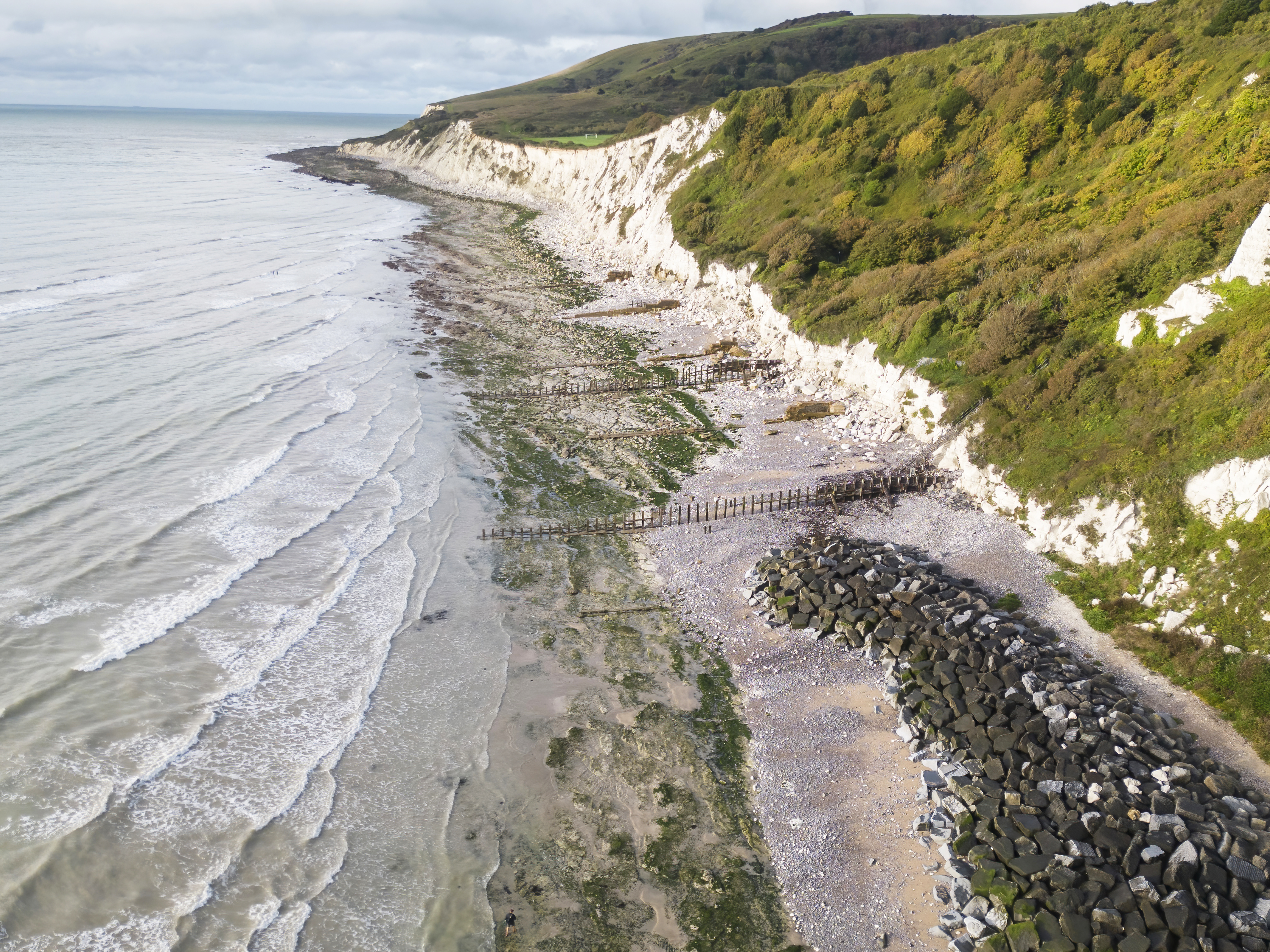
Our interactive StoryMap brings the coastline to life through maps, images and storytelling. It explains how the coastline has changed over time, the challenges we face and the actions being taken to manage coastal flooding and erosion. This visual resource is updated as the scheme progresses and offers an engaging way to understand the wider context of the project.
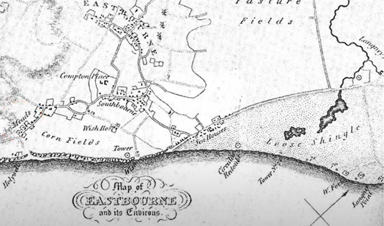
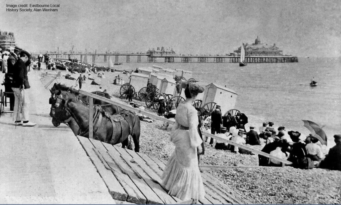
Historic map of Eastbourne and its environs (Credit: John Heatherley)
Document library
Our Document Library contains reports, meeting notes, engagement materials and technical information relating to the scheme.
These include:
- Pevensey Bay Coastal Community Group (PBCCG) meetings
- Steering Group meetings
- Coastal Schools Partnership
- Scheme engagement
For further detail, please see the 'Document library sections.
Photos and videos
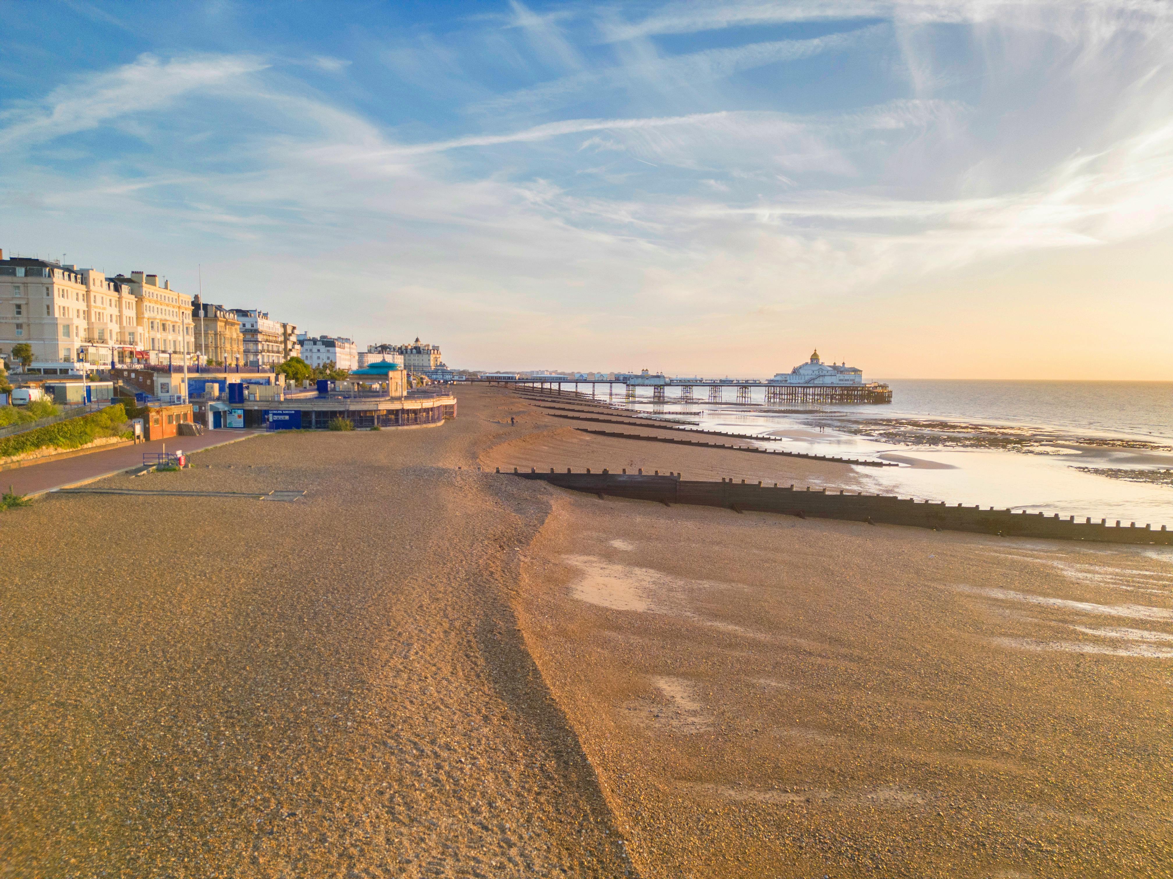
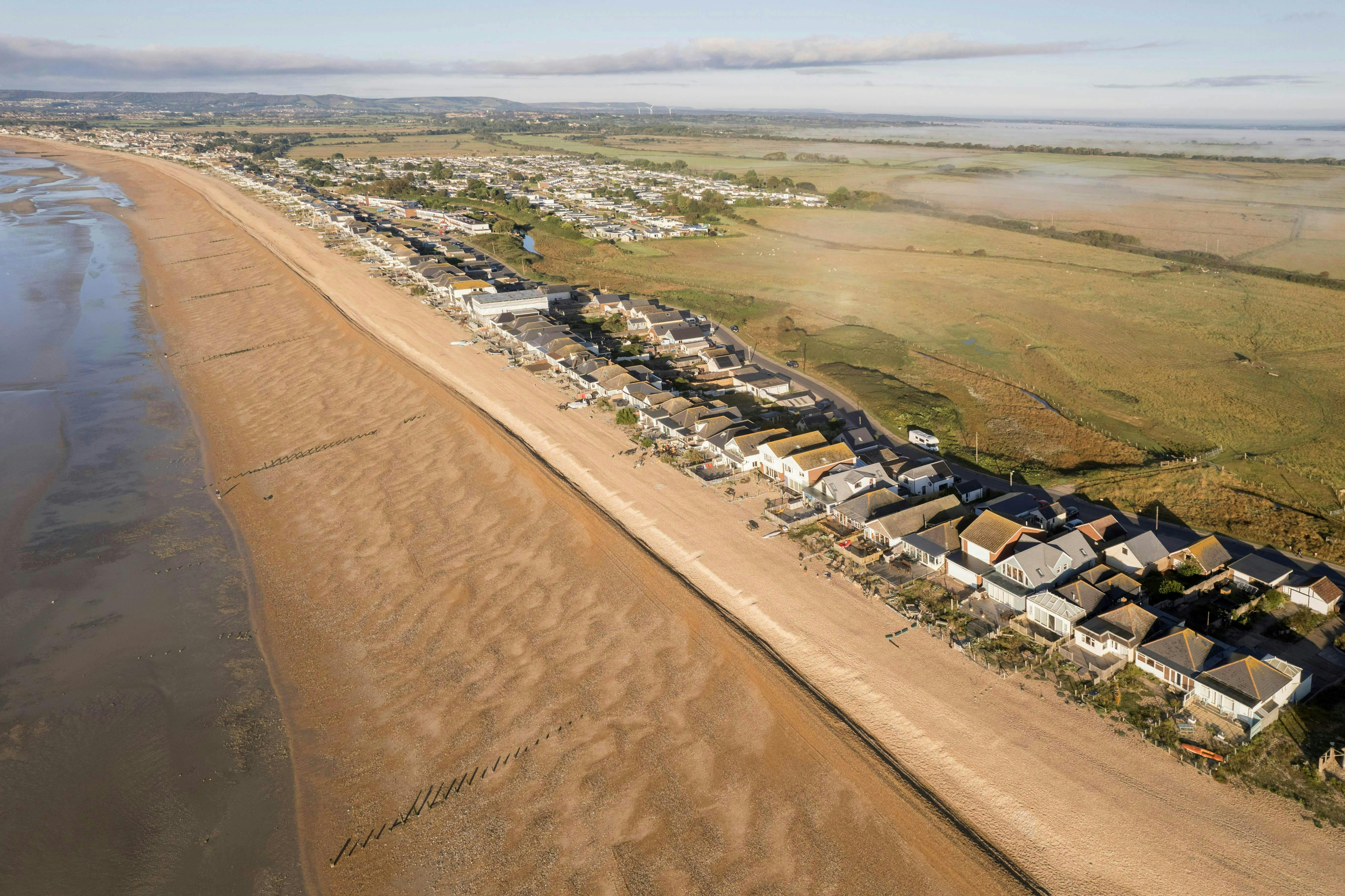
Browse our collection of photos and videos showcasing the coastline, beach management activities and significant events. These visual updates help illustrate the work happening across the scheme and the impact of changing coastal conditions.
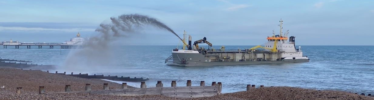
The 'Sospan Dau' dredger spraying shingle onto Eastbourne beach
Keep up to date with the latest Scheme news
Sign up to receive the latest news, progress updates and opportunities to get involved in the Pevensey Bay to Eastbourne Coastal Management Scheme. You can unsubscribe at any time by contacting us.
If you have any questions, would like to provide feedback, or need any information in a different format such as accessible PDF, large print or audio, please contact PevenseyandEastbourneCoast@environment-agency.gov.uk. We aim to provide a response within ten working days.
-
Beach Manager update - 20 February
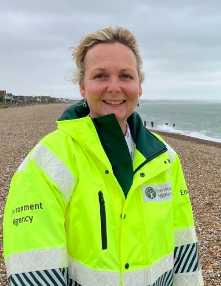 Following Paul’s recent update, he thanks you all for your kind words and well-wishes. I’ll now be keeping you informed about beach management activities, please feel free to say hello if you see me on the beach or contact me at pevenseybeachmanager@environment-agency.gov.ukErosion repairs this weekendRecent bad weather and spring tides have caused erosion along the western end of the beach front. Our team will be working early at Sovereign Harbour, making best use of the tides and daylight. This work is to reinstate the beach crest from Old Martello Road, past the Martello Tower and towards the Revetment.
 -
Beach Manager update - 18 February
 Weather & TidesWe’re closely monitoring conditions as tides peak through Friday and into the weekend. Forecasts show waves up to 2m and winds no stronger than force 6, so only mild erosion is expected. Our team and machinery are already preparing.Looking AheadAnother set of large tides arrives the week of 2 March. We’ll repair any erosion between tide cycles.Beach AccessBeach management activities will continue for at least the next 8 weeks. Please avoid placing anything on the beach crest that could restrict machinery access. The crest is narrow in places, and clear access helps usContinue reading
 -
Spring tides and upcoming works - 30 January
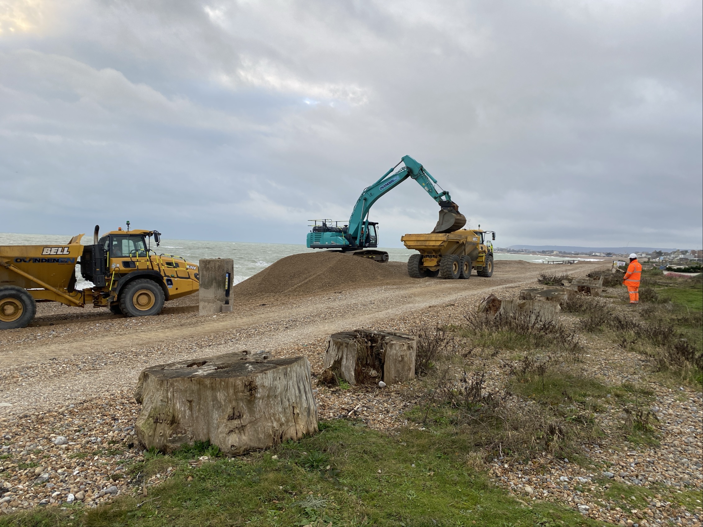 Ahead of spring tides next week: the weather currently looks favourable, with wave heights under 1.5m (although this may change).Tide times aren’t ideal, so we’ll be starting work early on Monday and Tuesday (05:00). We apologise for any disruption – we’re still repairing the damage from early January, and these tides allow us to work on the lower beach and maintain the crest to continue protecting your homes.Upcoming works:• Beach material import: From 14/15 March for 3 weeks (weather dependent).• Bypass operation: Planned for week commencing 23 February, moving shingle from Langney Point to Martello 64Continue reading
 -
Coastal defence inspections - 16 January
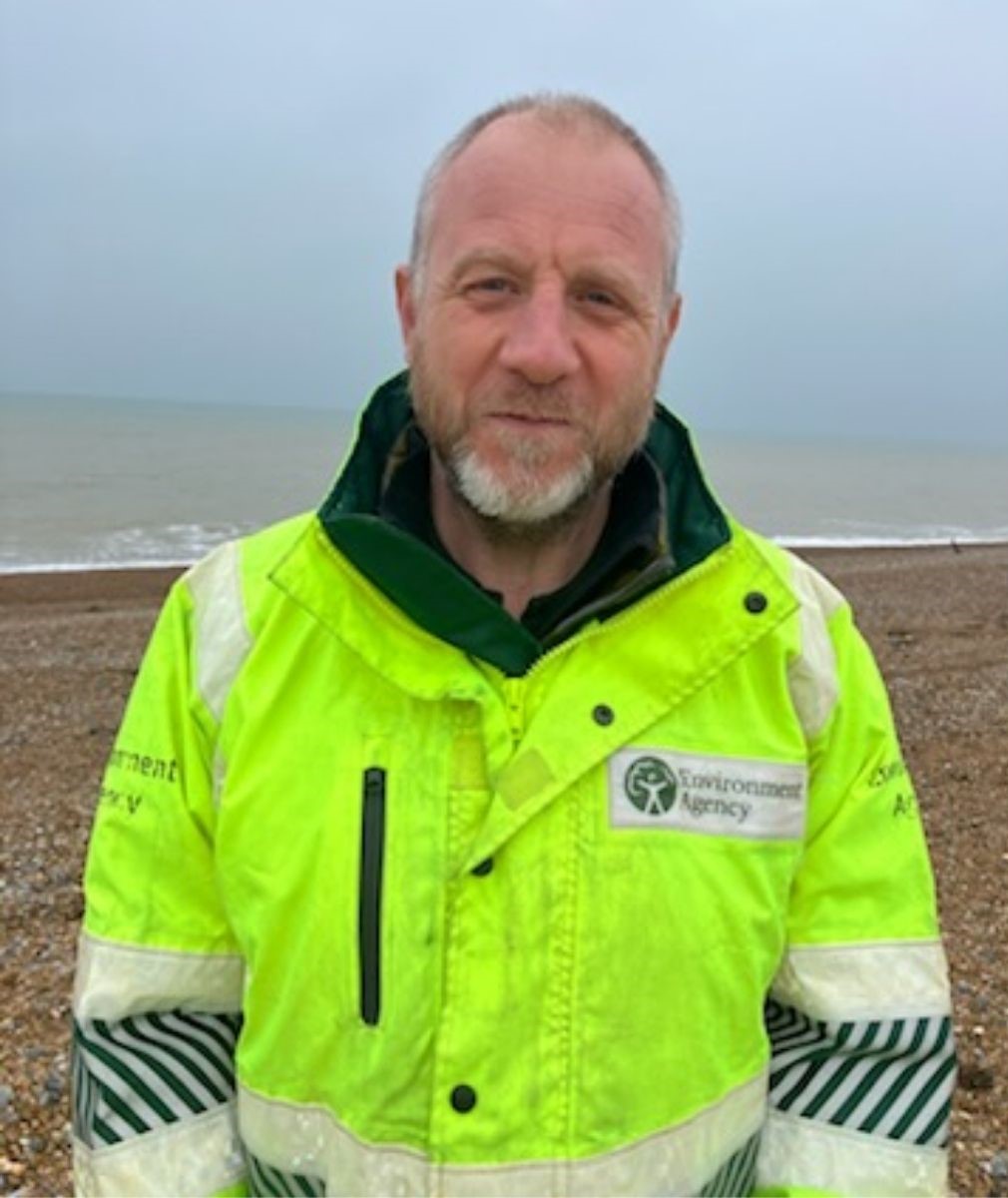
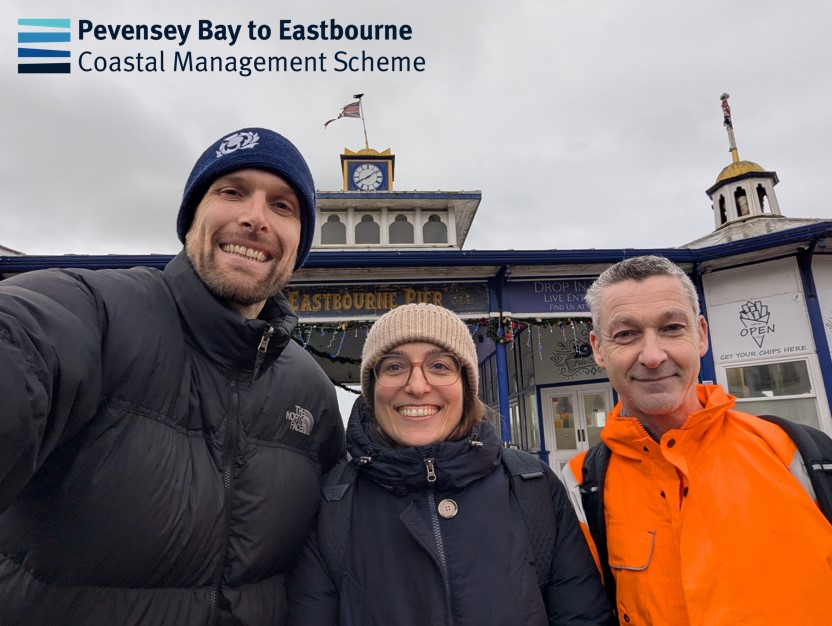 As part of our medium-term project work, our team were in Eastbourne this week carrying out important coastal defence inspections to help keep local communities safe.Despite the weather they kept smiling and got the job done!
 -
Storm update - 9 January
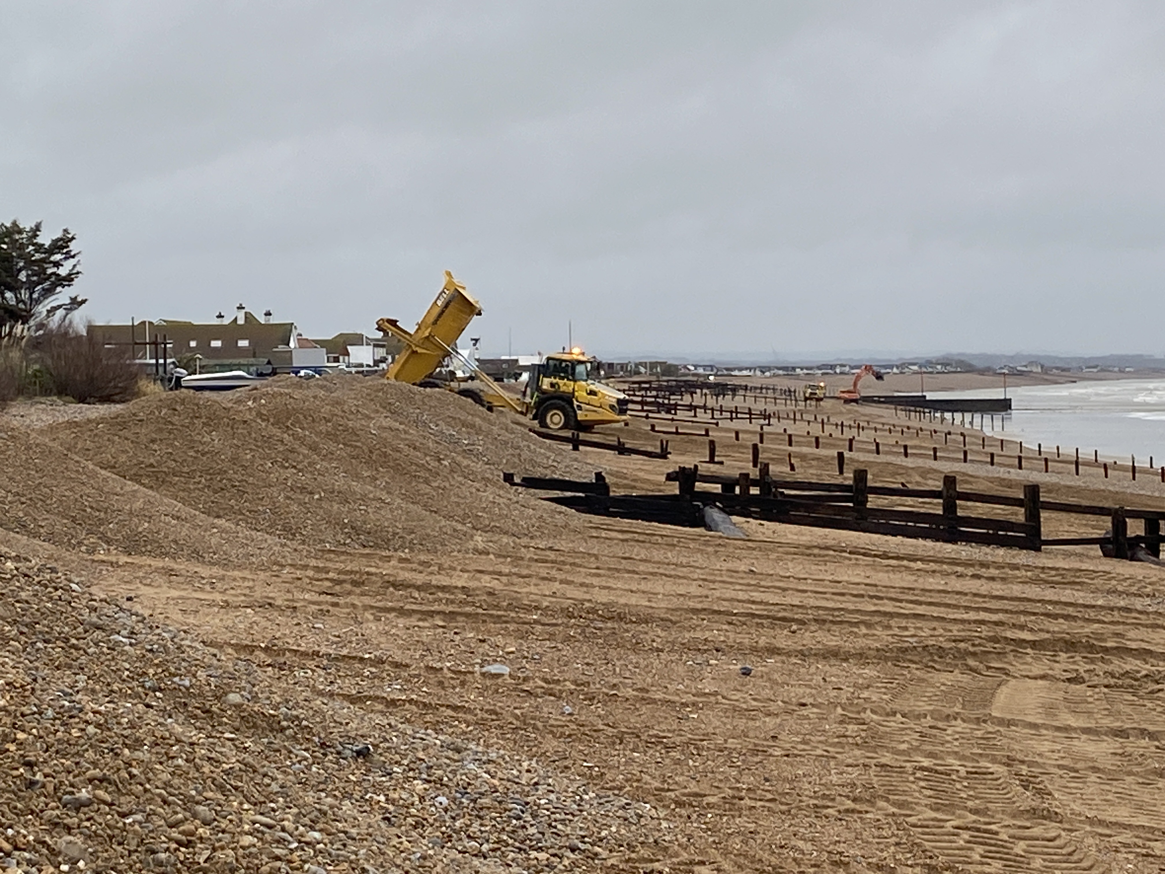 Good afternoon everyone,We hope last night wasn’t a sleepless one for you.Our records show that this event was similar in wave height and energy to Storm Ciaran in November 2023, although last night’s conditions included more south-westerly winds.Overnight, much of the beach crest through to Cooden was lost. Working with the tide, our teams have been rebuilding the most critical sections this morning. We will return to continue this work tomorrow (Saturday morning).Shingle was washed onto the road at Herbrand Walk, which is currently closed. Shingle was also washed onto the road at Normans Bay, andContinue reading
 -
Weather and flood update - 8 January
 As many of you have seen, the Environment Agency has issued a Flood Alert for coastal areas of Pevensey seafront. Here’s what you need to know:What’s happening?Storm Goretti is bringing severe weather overnight into Friday.Forecast: Force 9 winds, 5m waves, and a 2m surge early Friday morning.Flood risk:High tide at 02:30 AM Friday (09/01) could cause flooding for 2 hours either side.Areas at risk: Sovereign Harbour to Cooden Beach, including Pevensey Bay, Normans Bay, and Herbrand Walk.Coastal roads may be affected by water, shingle, and debris.What we’re doing:We’ll assess beach erosionContinue reading
-
 Newsletter summer 2026_digital (5.62 MB) (pdf)
-
 Previous editions
-
Newsletter autumn winter 2025 (7.81 MB) (pdf)
-
Newsletter spring summer 2025 (3.48 MB) (pdf)
-
Newsletter autumn 2024 (4.29 MB) (pdf)
-
Newsletter summer 2024 (1.66 MB) (pdf)
-
Newsletter spring 2024 (4.72 MB) (pdf)
-
Newsletter summer 2023 (4.07 MB) (pdf)
-
Newsletter spring 2023 (1.27 MB) (pdf)
-
Newsletter autumn winter 2022 (3.11 MB) (pdf)
-

This report shares the results of our recent community survey and what the responses tell us about issues that matter most to the community.
-
PBCCG - General
-
PBCCG - Latest meeting notes and agendas
-
PBCCG - Previous meeting notes and agendas
-
20221209_PevEb_PCCG_Agenda_15_Dec_22_(002).pdf (168 KB) (pdf)
-
PBCCG MCA Meeting Notes 15 March 2024.pdf (163 KB) (pdf)
-
20240516 Minutes PBCCG Meeting 9 May 2024 Final Draft.pdf (175 KB) (pdf)
-
PBCCG 14th Meeting Minutes 10th December FINAL DRAFT.pdf (139 KB) (pdf)
-
Minutes of 13th meeting 10 September 2024 DRAFT.pdf (121 KB) (pdf)
-
20230515_PBCCG_18_May_Agenda.pdf (112 KB) (pdf)
-
PBCCG Meeting Notes- August 2023.pdf (257 KB) (pdf)
-
Minutes_PBCCG_10th_Meeting_(Nov_2023).pdf (113 KB) (pdf)
-
PBCCG meeting minutes 13.2.2024 Final.pdf (158 KB) (pdf)
-
PBCCG Meeting Notes- September 2023.pdf (165 KB) (pdf)
-
20230426_PBCCG_5th_Meeting_Minutes_Final.pdf (172 KB) (pdf)
-
PBCCG Meeting Notes June 2023.pdf (151 KB) (pdf)
-
20230523_PBCCG_6th_Meeting_Minutes_FDSA_FINAL_DRAFT.pdf (176 KB) (pdf)
-
20221115 PevEb Pev Community 15 Nov 22 FINAL.pdf (1.71 MB) (pdf)
-
20230317_PevEb_PCCG_Agenda_23_Mar_23.pdf (193 KB) (pdf)
-
PEVENSEY_BAY_COASTAL_COMMUNITY_GROUP_MEETING_HUW_MERRIMAN.pdf (174 KB) (pdf)
-
20221226_Minutes_of_Pevensey_Bay_CCG_Meeting_15_December_2022.pdf (226 KB) (pdf)
-
20211123 PevEb Pev Bay Community Group Meeting Summary.pdf (153 KB) (pdf)
-
20230622_PBCCG_29_June_AGENDA.pdf (102 KB) (pdf)
-
-
Steering Group
-
Accessibility
-
Coastal Schools Partnership
-
Ground investigations work
-
Scheme engagement
-
Community survey report version 1.0 (final) - February 2026 (1.1 MB) (pdf)
-
250416_Phase 1 outline design engagement evaluation_final.pdf (316 KB) (pdf)
-
20240119_phase_1_shortlist_engagement_report_final.pdf (1.74 MB) (pdf)
-
Phase_1_Shortlist_Q_A_December_Transcript.pdf (304 KB) (pdf)
-
ENV0002750C-JBA-00-00-RP-EN-0003-S4-P02-Stakeholder_Analysis_Phase1_Report.pdf (5.61 MB) (pdf)
-
20220420_PevEb_Phase_Two_Presentation__v3.pdf (3.35 MB) (pdf)
-
20220616__PevEb_Engagement_Report.pdf (245 KB) (pdf)
-
-
Steering group

-
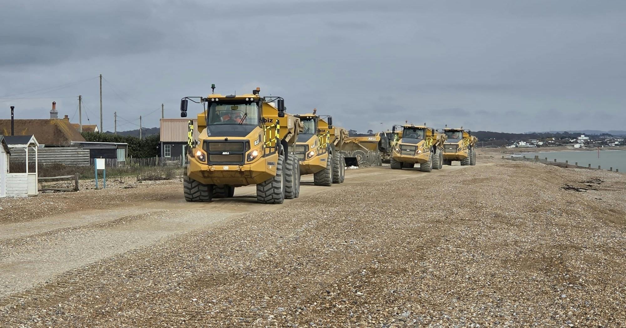
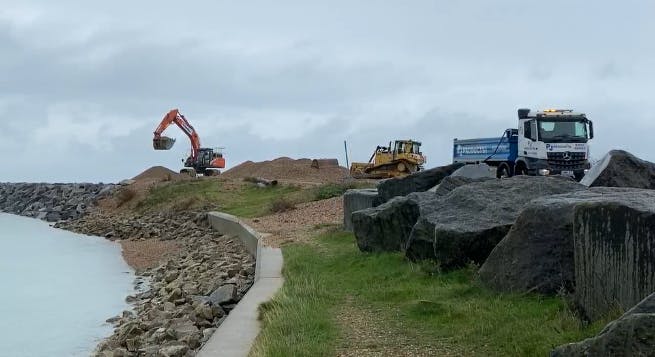
This video shows heavy machinery operating overnight as part of essential beach management works during a storm event. Working in challenging conditions, teams reshaped shingle on the beach to help reduce erosion and lower the risk of coastal flooding to nearby communities.