Our website uses cookies

We use cookies to ensure our site functions properly and to store limited information about your usage. You may give or withdraw consent at any time. To find out more, read our privacy policy and cookie policy.

Manage Cookies

A cookie is information stored on your computer by a website you visit. Cookies often store your settings for a website, such as your preferred language or location. This allows the site to present you with information customized to fit your needs. As per the GDPR law, companies need to get your explicit approval to collect your data. Some of these cookies are ‘strictly necessary’ to provide the basic functions of the website and can not be turned off, while others if present, have the option of being turned off. Learn more about our Privacy and Cookie policies. These can be managed also from our cookie policy page.

  1. Strictly necessary cookies(always on):
    Necessary for enabling core functionality. The website cannot function properly without these cookies. This cannot be turned off. e.g. Sign in, Language
  2. Analytics cookies:
    Analytical cookies help us to analyse user behaviour, mainly to see if the users are able to find and act on things that they are looking for. They allow us to recognise and count the number of visitors and to see how visitors move around our website when they are using it. Tools used: Google Analytics
  • Skip to main content
  • Jump to navigation
  • Search

IE10 and below are not supported.

Google Chrome Mozilla Firefox

Contact us for any help on browser support

Skinningrove manual floodgates

You are here:

  • Home
  • Skinningrove Flood Alleviation Scheme

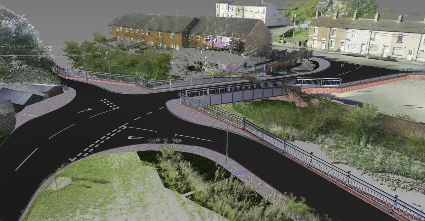
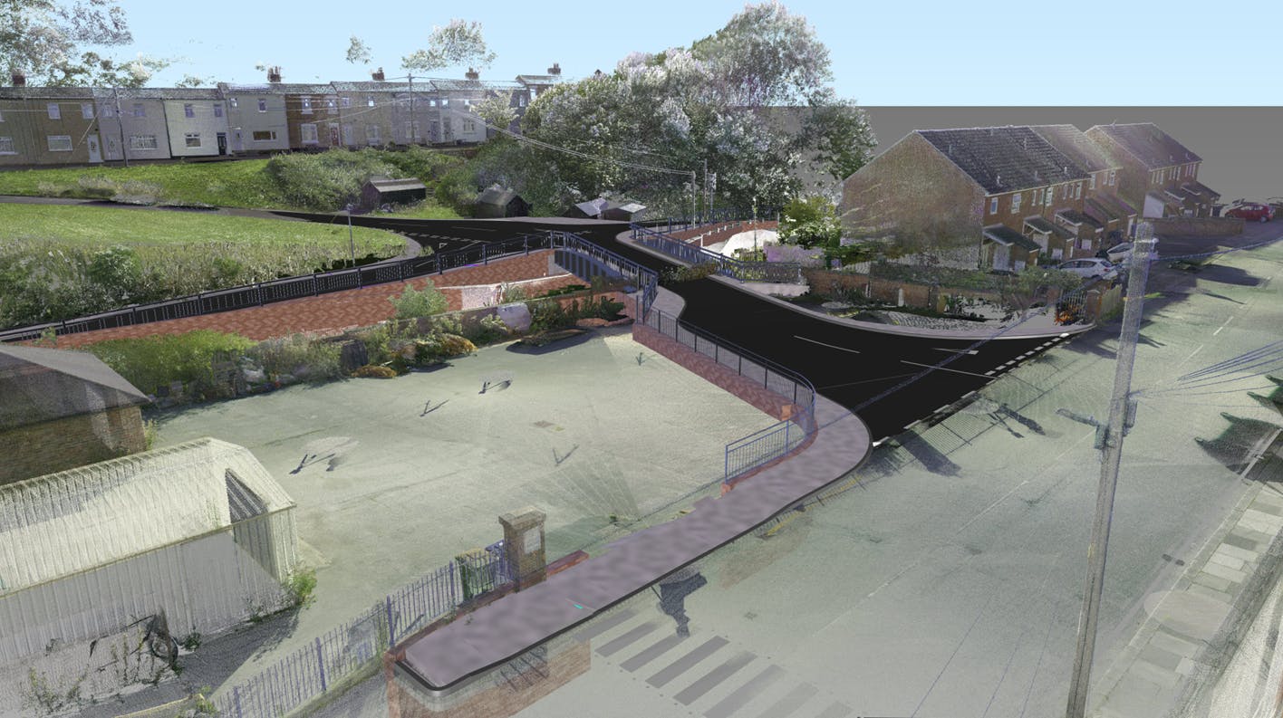
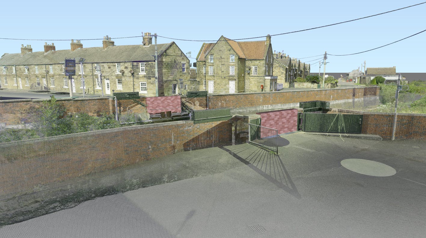
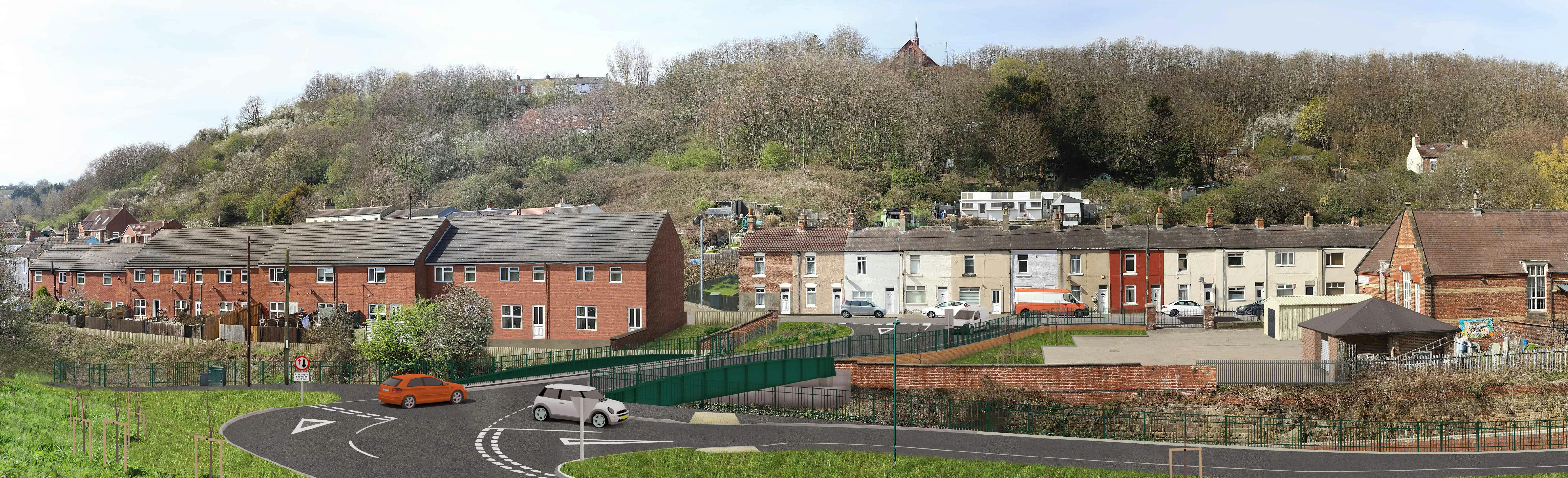
Project Visualisations

 Aerial simulated visualisation of the new bridge from Grove Hill embankment.
previous next
Simulated visualisation of the new bridge from Grove Hill embankment
Simulated visualisation of the new bridge from New Company Row over looking the Riverside Building car park on to Grove Hill
 Simulated visualisation of the new bridge from Zetland Row from ground level. Looking onto the new bridge towards the Riverside Building and New Company Row
 Aerial simulated visualisation of the new bridge from Grove Hill embankment.
Simulated visualisation of the removed stone row bridge and flood gates from Zetland Row. The gap in the bridge where the flood gates were has been replace with flood wall, tying into the existing flood wall
 Simulated visualisation of the new bridge from Zetland Row from ground level. Looking onto the new bridge towards New Company Row and the Riverside Building.