Maidenhead Windsor and Eton Flood Alleviation Scheme including the Jubilee Flood Relief Channel
The Maidenhead, Windsor and Eton Flood Alleviation Scheme is made up of a combination of different elements to reduce flood risk in the area. This includes
- the Jubilee Flood Relief Channel from Taplow to Datchet
- earth embankments, flood walls, flood gates, raised kerbs and a flow control structure in Cookham and North Maidenhead
Find out if we are currently using the Jubilee to reduce flood risk
Go to the Jubilee Operational Status section at the bottom of this page.
Get involved
Register with Engagement HQ using the button in the information bar on this page. Registering enables you to follow different Environment Agency projects that interest you.
Follow our project using the subscribe button, which will add you to our mail list when we release any significant updates or announce events.
Do you have more questions? See the 'Your questions answered' section. If you have further questions, please get in contact.
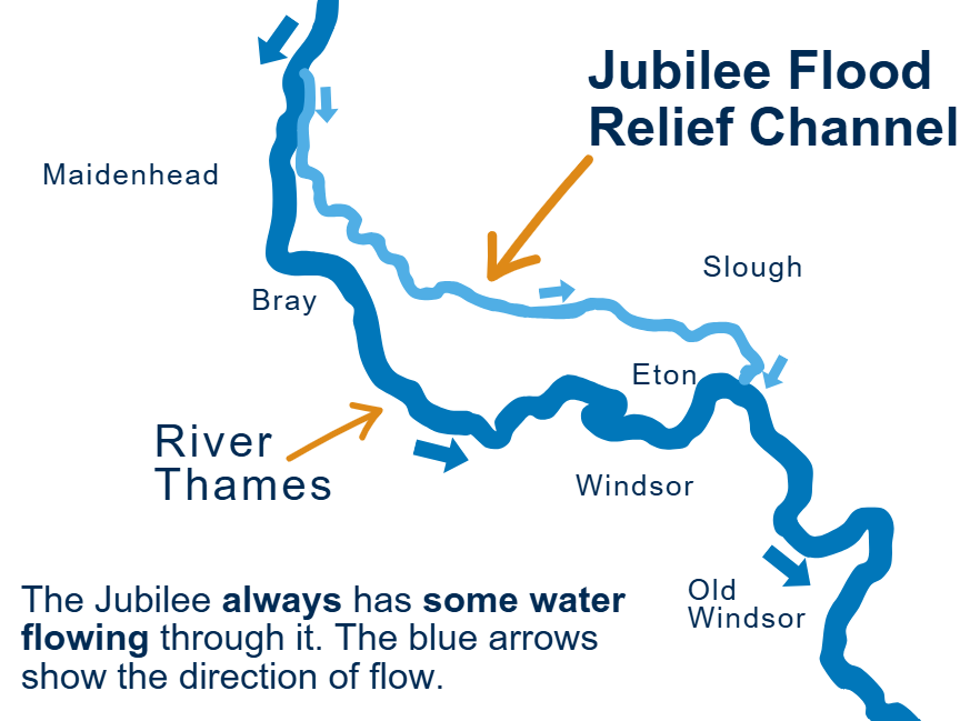
How does the Jubilee Flood Relief Channel work?
The Jubilee Flood Relief Channel: your questions answered
-
Jubilee operational status

We are not currently operating the Jubilee Flood Relief Channel. We operate it to reduce the risk of flooding from the River Thames for communities in Maidenhead, Windsor and Eton, following the Jubilee Flood Relief Channel Operational Procedures.
In flood conditions we split some of the water from the River Thames into the Jubilee.
This page is only updated when we start or stop using the Jubilee. We are not able to update this page every time we increase or decrease the flow of water through the Jubilee. This is because our team prioritises issuing flood alerts and floodContinue reading

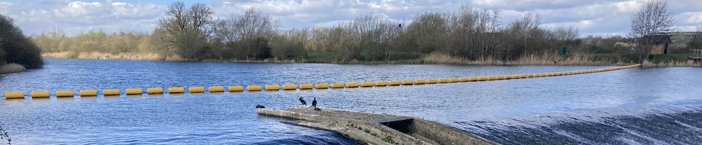
Photos of the weirs along the Jubilee


Get in contact
-
Thames enquiries
