Fens 2100+ Partnership
Transforming the approach to investing in flood and coastal resilience for the future of the UK Fens
The Fens is one of the most distinctive landscapes in the UK. Once a natural marshland, it has become one of the most productive agricultural regions in the UK. The region underpins food security, economic productivity, and national infrastructure, producing a third of England’s vegetables and supporting 80,000 food chain jobs.
History
The marshes were drained in the 17th Century, using man-made engineering methods such as drainage systems, embankments and pumping stations. 87% of the Fens lies below mean spring tide level, making the area uniquely vulnerable to flooding and climate impacts. Being below sea level the water in the Fens must be constantly managed to ensure there is enough water for agriculture while also draining water off the landscape in heavy rain.
Following the second world war, in response to a demand for food production and catastrophic flood events there was significant investment in the Flood and Coastal Risk Management Assets (tidal defences, sluices, pumping stations etc). Many of the flood risk assets that were constructed at this time are still in place today and continue to protect the Fens from flooding.
What is Fens 2100+?
Fens2100+ is a partnership project bringing together the Environment Agency, the Association of Drainage Authorities (ADA), Internal Drainage Boards (IDBs), local authorities, the National Farmers Union (NFU), Anglian Water, and Natural England to develop a long-term plan to manage future flood risk in the Fens.
The Partnership aims to secure a climate resilient future for the Fens by aligning investment, strengthening system performance, and ensuring the decisions we take today are the right ones.
Why is it needed?
The Fens only function because a complex flood risk and water management asset system keeps the land dry.
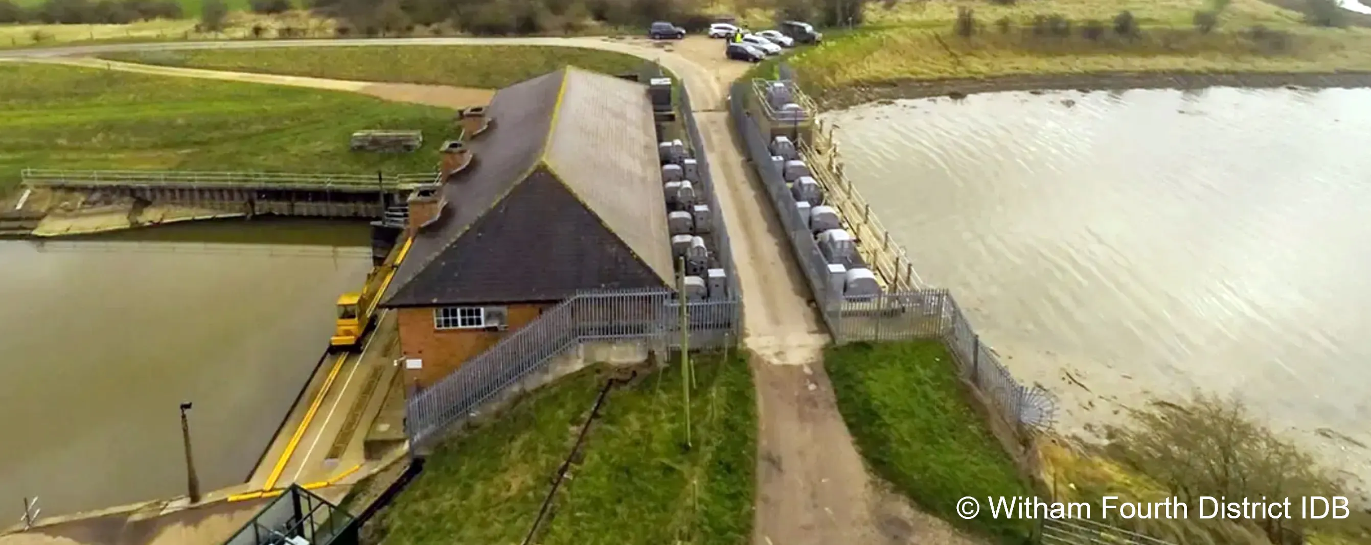
It is a complex system of around 17,000 flood risk and water level management assets, such as pumping stations, tidal barriers, drainage channels and embanked defences.
This critical system is estimated to deliver more than £58bn worth of benefits – both through direct protection to people and properties, businesses, critical infrastructure, and agricultural land, and through indirect benefits to the local economy, for example through jobs, and the food and drink sector supply chain.

The above diagram shows how the Fens contributes to the UK economy, and the vulnerabilities it faces from being a lowland landscape
However, this flood risk and water management system faces significant challenges - many of the assets are reaching or beyond their design life, and under increasing pressure from climate related impacts including sea level rise, land subsidence from drying peat soils and more frequent flood events. If they fail, the consequences could be catastrophic.
The infographic below summarises the estimated economic impacts of flooding in the Fens under a ‘Do Nothing’ scenario. It shows how flood risk could lead to substantial long‑term costs across multiple sectors, including properties, agriculture, transport, utilities, the local economy, the environment, and heritage.
The graphic highlights that losses run into tens of billions of pounds, with major impacts on homes, businesses, infrastructure, and livelihoods, illustrating the scale and breadth of potential consequences if no further action is taken to manage flood risk.
To meet these challenges, we must rethink and transform our approach, embedding resilience, innovation and long-term planning into every decision.

Estimated Economic Impacts of Flooding in the Fens under a ‘Do Nothing’ Scenario
A plan towards a nation resilient to flooding and coastal change
Baseline Summary and Catchment Baseline Reports
The baseline summary report outlines evidence from the seven Catchment Baseline Reports. It brings together data and insights from risk management authorities (RMAs) on their experience of managing flood risk assets.
Information in the Catchment Baseline Reports includes the historical and environmental context, the function of flood risk assets and their economic impact, current and future flood risks and investment challenges and opportunities.

The image shows the front covers of the seven Catchment Baseline Reports, the baseline summary report and Case for Change
You can access the baseline summary report and catchment baseline reports on the gov.uk website. Our supporting video can be watched on YouTube.
Case for Change
The Fens 2100+ Case for Change builds upon the Catchment Baseline Reports. The Case for Change:
- presents a unequivocal call to action to safeguard one of the United Kingdom’s most strategically important regions
- demonstrates that the Fens faces a combination of pressures that now demands decisive, coordinated and long-term intervention
- sets out a compelling, evidence-based rationale for transforming how flood, coastal, and water management infrastructure is planned, funded, and delivered across this critical region
Our Partnership Action Plan offers clear, practical steps that combine near-term risk mitigation with long-term transformation. The Fens2100+ partnership is focused on delivering this Partnership Action Plan.
Watch our video which explains why long-term adaptation is needed in the Fens.
Get involved!
- Firstly we would like to encourage you to register with EHQ, this helps to interact with tools on this page.
- Secondly if you would like to add this project to others that you follow on this platform, please subscribe. You will also be added to our e-mail list for any significant updates. We do not issue auto-notifications, so please do come back and check for updates.
- Check-out our news feed for updates on the programme, and updates to this page
- We will continue to add useful content to the information section for your reference
- We will announce any opportunities to meet or discuss, either online or face-to-face
In the meantime, if you have any questions or comments you are welcome to contact us using our enquiries email.
-
Cambridgeshire County Council visit Denver Sluice Complex - a critical asset in the Fens
On 3rd Nov Councillors and Officers from Cambridgeshire County Council visited the Denver Sluice Complex situated in the heart of the Cambridgeshire Fens.
Our visitors found out more about the Fens 2100 programme and the critical water management infrastructure that underpins the Fens - Denver Sluice is a great example of this.
You can find more about Denver Sluice in this video of an overview of the Denver Complex.


Map of the Fens 2100+ programme area

Contact Us

Videos
-
 This Fens 2100+ Baseline Report video provides the first shared, system wide evidence base for understanding flood risk and water management across the whole of the Fens.
-
 This video explains why long term adaptation is needed in the Fens.
-

