More about Fens 2100+
About the Fens
- Total area is over 400,000 hectares
- 4500km of watercourse
- Water levels must be managed 24 hours a day, 365 days a year
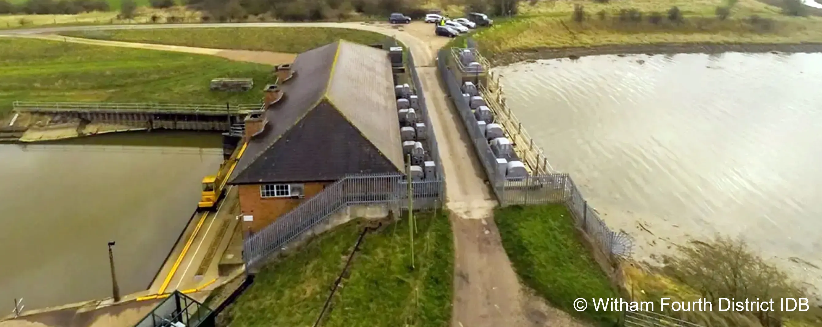
- 318 pumping stations
- Nearly 400,000 people are living in areas of the Fens at risk of flooding from main rivers and the sea
- Managing water in the Fens is estimated to deliver in excess of £58bn worth of benefits through direct protection to people and properties, business, critical infrastructure, agricultural land, and through indirect benefits to the local economy
- Defences currently provide protection to 500km of road and rail infrastructure
- 9 National Nature Reserves
- 3700 (approx.) farms and 96% of the land is classified and agricultural
- Over 3800 listed buildings and over 250 schedules monuments
- 49 Sewage Treatment Works
What are the challenges in the Fens?
The Fens landscape is largely below sea level – it’s at the forefront of climate change. Water levels must be managed 24 hours a day, 365 days of the year.
Living and working in the Fens is only possible because of around 17,000 flood risk management and water level management assets, such as pumping stations and defences. Without these, the area would revert to marshy fens and lowlands, liable to frequent flooding from the sea and rivers.
Added to this are several pressures including agricultural demands, population growth, areas of socio-economic deprivation, water availability for people, farming, industry and nature, climate impacts including increased flood risk and rising sea levels.
Many of the flood risk assets were built in the 1960s primarily to manage the land for food production and will need significant investment to maintain them in the medium and long term.
Fens 2100+ will make sure we support how we deliver flood risk management now, but we’re also looking to the medium and long-term to try to determine what's the right investment we need to make across this landscape that achieves the outcomes that we all want – for people, the environment, and more widely.
This is also about making sure we are putting the investment in the right places, not limiting future choices, and helping this landscape adapt to climate change into the future – rather than just doing what we’ve always done.
Key facts and statistics about the Fens
The Fens 2100+ Partnership and the Project Team
- Environment Agency
- Association of Drainage Authorities (ADA)
- Internal Drainage Boards (IDBs)
- National Farmers Union (NFU)
- Anglian Northern and Great Ouse Regional Flood & Coastal Committees (RFCCs)
- Anglian Water
- Natural England
- Cambridgeshire County Council
- Lincolnshire County Council
- Norfolk County Council
- Cambridgeshire & Peterborough Combined Authority
Who are the Fens 2100+ partnership?
We’re responsible for developing a strategic case for continued investment in flood risk management across the Fens landscape and setting out the flood risk management investment choices required to ensure we have a vibrant and flourishing landscape, that’s adapting to the challenges of climate change.
Who is in the Fens 2100+ team?
Amy Shaw - Fens Flood Risk Manager
Steven Trewhella - Fens Technical Director
Tom Freer - Project Manager
Andy Bailey - Senior Strategy Adviser
Louise Wilson - Strategy Adviser
Faye Scott - Engagement Adviser
Darren Trumper - Senior Adviser - Great Ouse Catchment
Hannah Troup - Fens 2100+ Project Team Officer
Anna Robotham - Strategy Adviser
Zoe Gutteridge - Strategy Adviser