
Videos
- Please use tab to navigate through video controls.
- Upon entering the player press space bar to reach the play button
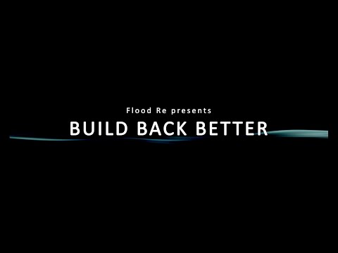
Build Back Better scheme
An overview of the Build Back Better (BBB) scheme, from a number perspective of a variety of stakeholders.

Addressing flood risk through the planning system in England
The role of the Environment Agency in the planning system is to provide flood risk advice to inform the decisions made by local authorities on planned development. This also includes translating the latest climate science to create user friendly guidance on how climate change can affect flood risk in the future. Both decision makers and developers can utilise this guidance.
This video will be useful for local authority planning officers and elected members in England, planning school students and anyone else with an interest in planning for flood risk.
https://www.tcpa.org.uk/resources/planning-for-flood-risk-in-england/

Satellite imagery taken of the River Soar floodplain downstream of Leicester City on the 8th January 2025, 10am - 12am.
A swipe/slider comparison showing how the River Soar floodplain downstream of Leicester City looks normally, versus how it looked on the 8th January 2025 between 10am-12am. The light brown colour is floodwater. The Northern half of Leicester City is visible at the bottom of the screen.

Debris Screen in the Thurmaston area of Leicester during the 19th December 2024 event.
A clip of a debris screen during a high flow event showcasing how they catch debris which could otherwise end up blocking the culverts behind the debris screen, resulting in flooding. The screens themselves are much larger than the culvert entrance to allow water to pass through even with the considerable build-up of debris. They are also angled for safety purposes and to make it easier for our trained staff to clear the debris.
Build Back Better scheme
An overview of the Build Back Better (BBB) scheme, from a number perspective of a variety of stakeholders.