Your questions answered
- the long term flood risk for an area in England
- how climate change might increase the chance of flooding in an area
- the possible causes of flooding
- how to manage flood risk
- rivers and the sea
- surface water
- reservoirs
- groundwater (where data is available)
- find out if you need a flood risk assessment as part of a planning application
- download a printable flood map for planning
- request flood risk data
flood maps from the Environment Agency
other commercially developed maps purchased from the private sector
their own claims history
get insurance advice from the National Flood Forum or MoneyHelper
find lower-cost home insurance through Flood Re if you’re in a flood-risk area. Flood Re is a flood reinsurance scheme designed to help households at high risk of flooding to access affordable insurance. It is a joint initiative between the government and insurers, part of the public sector but regulated by the Financial Conduct Authority.
find a broker that specialises in properties that are difficult to insure
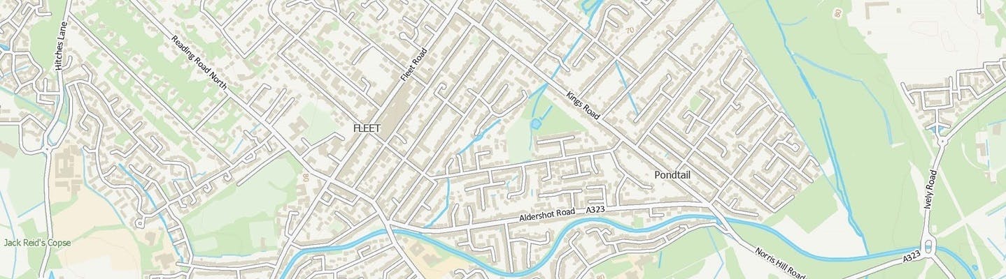
How has the Environment Agency decided which areas of Fleet are at risk of flooding?
We commissioned JBA Consulting to create a new model for Fleet. The model considers the flood risk to Fleet for both fluvial (river) and surface water (rainfall) combined. The Environment Agency has been working with JBA for over 20 years to produce similar models.
Modelling software was used to understand the potential impact of flooding from both the various watercourses and surface water in the area. Surface water is where the amount and intensity of rainfall overwhelms local drainage systems.
The study considered future climate change and assessed predicted increases in rainfall and river flows by the 2050s and 2080s.
Why is the Environment Agency map on this page different from what I can see on gov.uk for my area?
Our pages on gov.uk do not show the data from our new model for Fleet. This is because the model format cannot be integrated with gov.uk yet.
Our new model is specific to Fleet and is therefore a better representation to information you can see on gov.uk
Visit Check the long term flood risk for an area in England - GOV.UK.
Use this service to find out:
This service tells you about an area’s long term risk from:
Visit Flood map for planning - GOV.UK to get flood risk information for planning applications (also known as planning permission).
You can use this service to:
Does the new Environment Agency modelling make it more difficult for me to get insurance or sell my property?
Insurance companies use several data sources when issuing insurance quotes. These include:
The ways insurers price premiums are individual commercial decisions as part of a competitive market.
Insurers may accept additional information about an individual property’s flood risk from reliable sources. This could be an independent survey or flood risk assessment.
If you are having trouble getting house insurance you can: