We own and publish a wealth of data which can be accessed by the public. Find out more by exploring the links below.
 Water Environment (Water Framework Directive) Regulations data release
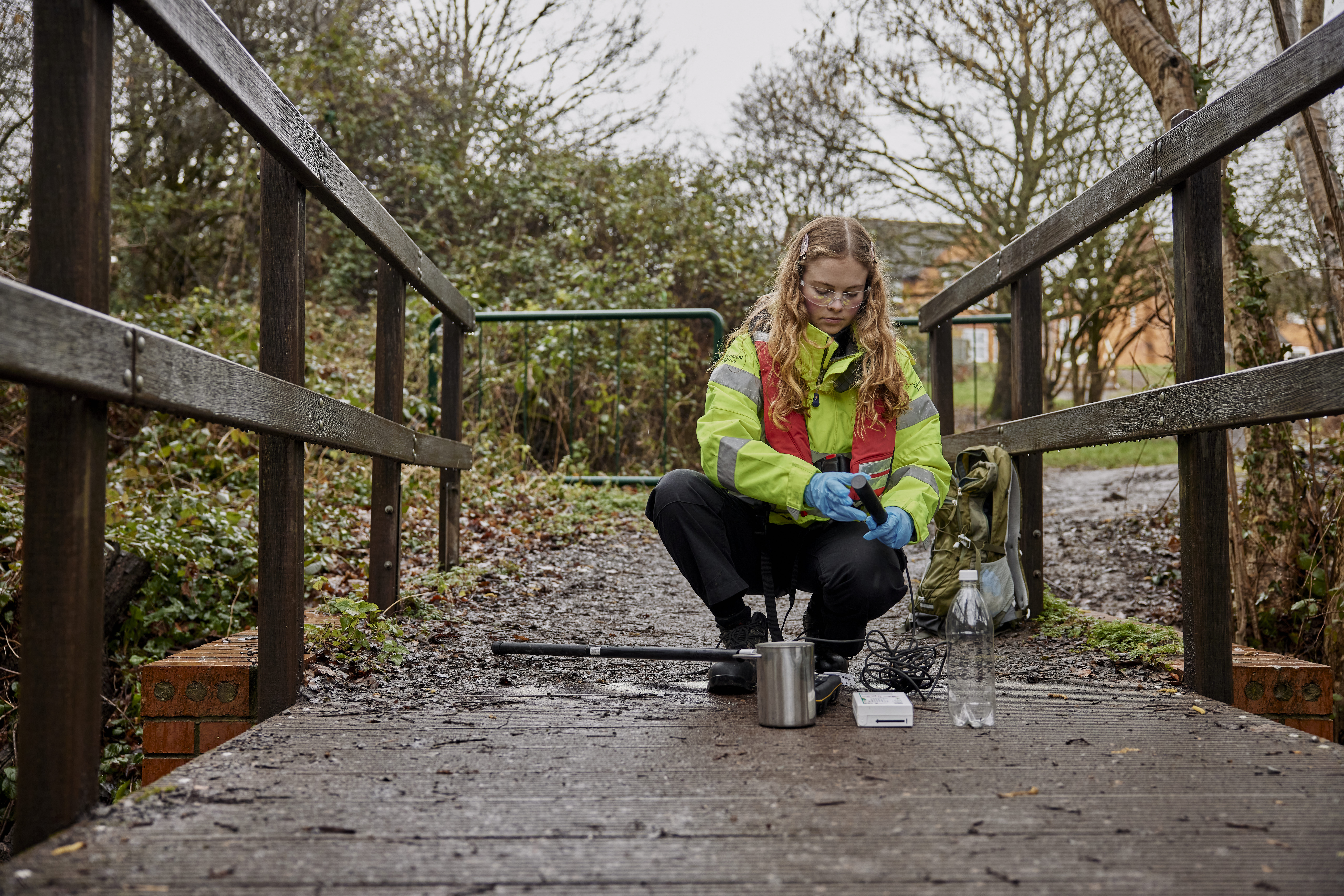
Interested in the health of England's waters? Explore the latest results, understand what they mean, and discover how the evidence is used to target action and support improvements for rivers, lakes, estuaries and coastal waters.
Find out more about classifications and access the data here
 Water Quality Explorer (WQE)
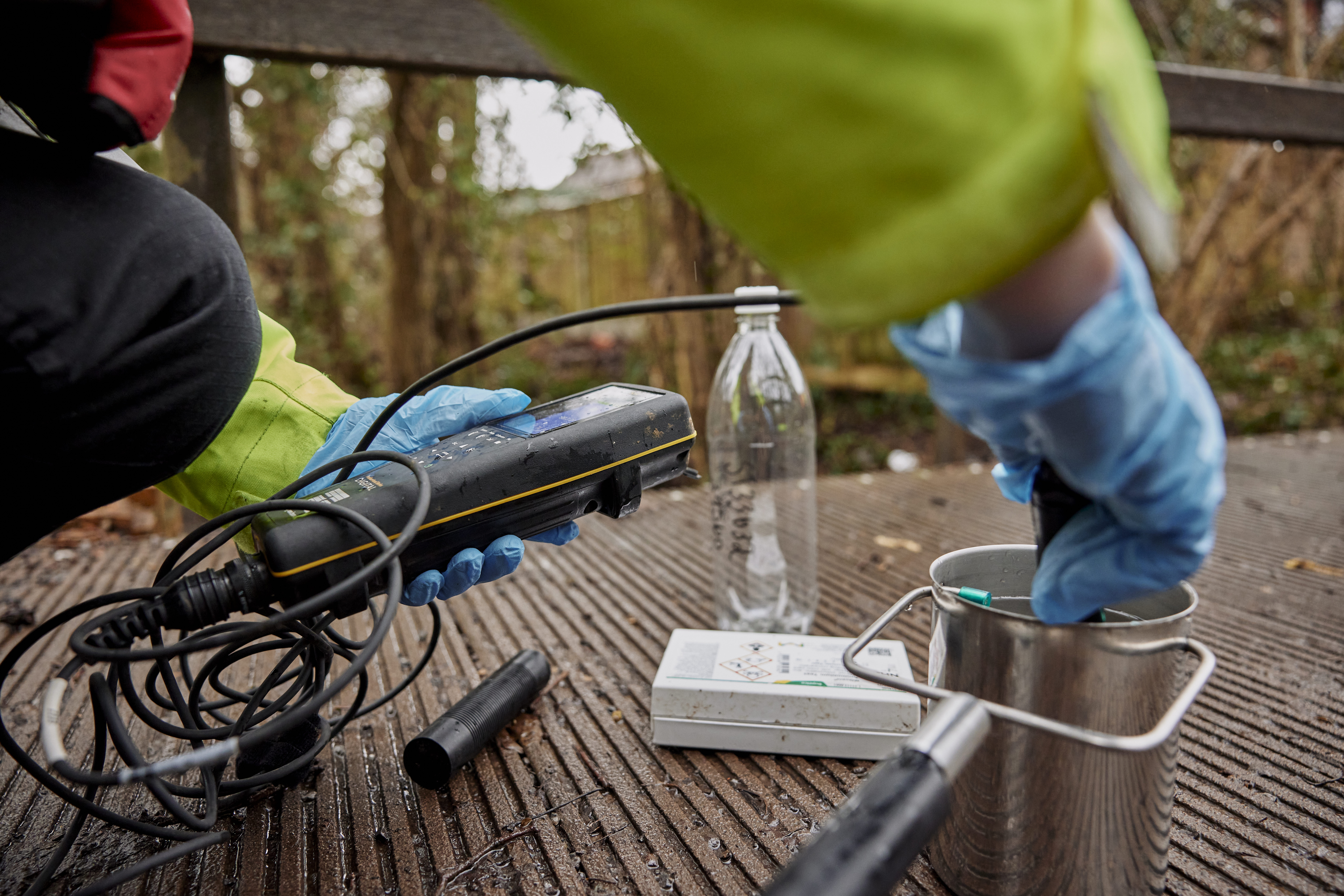
The WQE provides data on water quality measurements. Samples are taken at sampling points around England and can be from coastal or estuarine waters, rivers, lakes, ponds, canals or groundwaters.
Ecosystem Service Map Explorer (ESME)
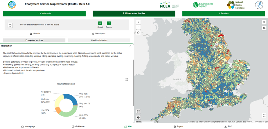
The Ecosystem Service Map Explorer is a first-of-its-kind, open, and transparent online tool. It provides a powerful way to visualise whether rivers across England are ready to continue providing the services we need. Find out more.
Bathing water data
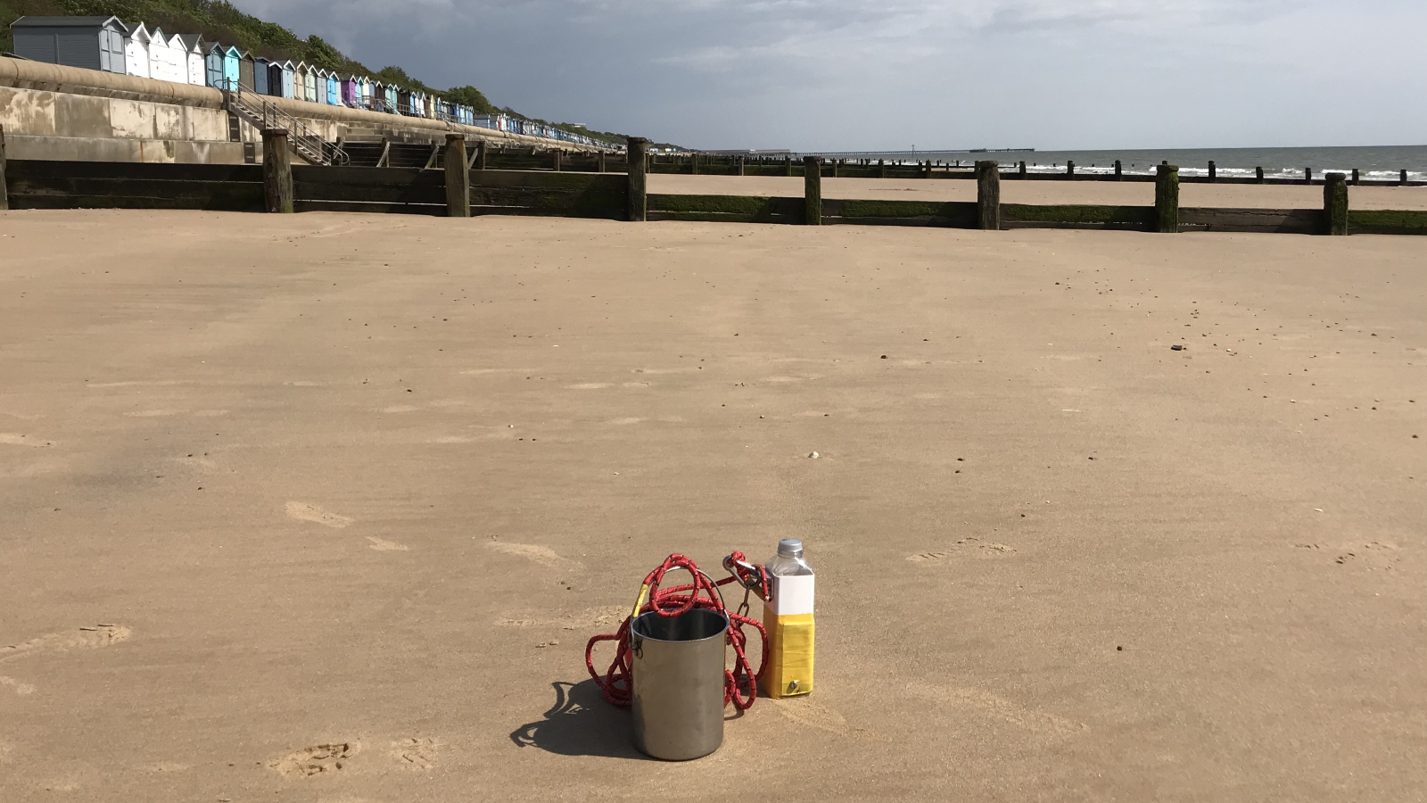
Water quality at designated bathing water sites in England is assessed by the Environment Agency. From May to September, weekly assessments measure current water quality, and at a number of sites daily pollution risk forecasts are made.
Storm overflows
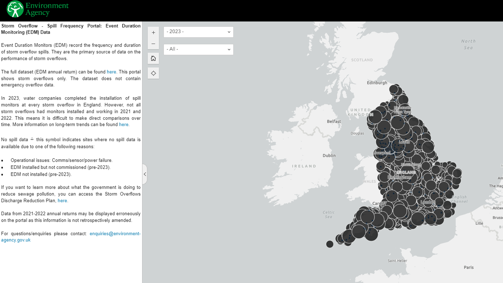
Event duration monitors (EDM) record the frequency and duration of storm overflow spills. They are the primary source of data on the performance of storm overflows.

Catchment data
The catchment data explorer is designed to help you explore and download information about the water environment used in river basin management plans (RBMPs).
Hydrology data
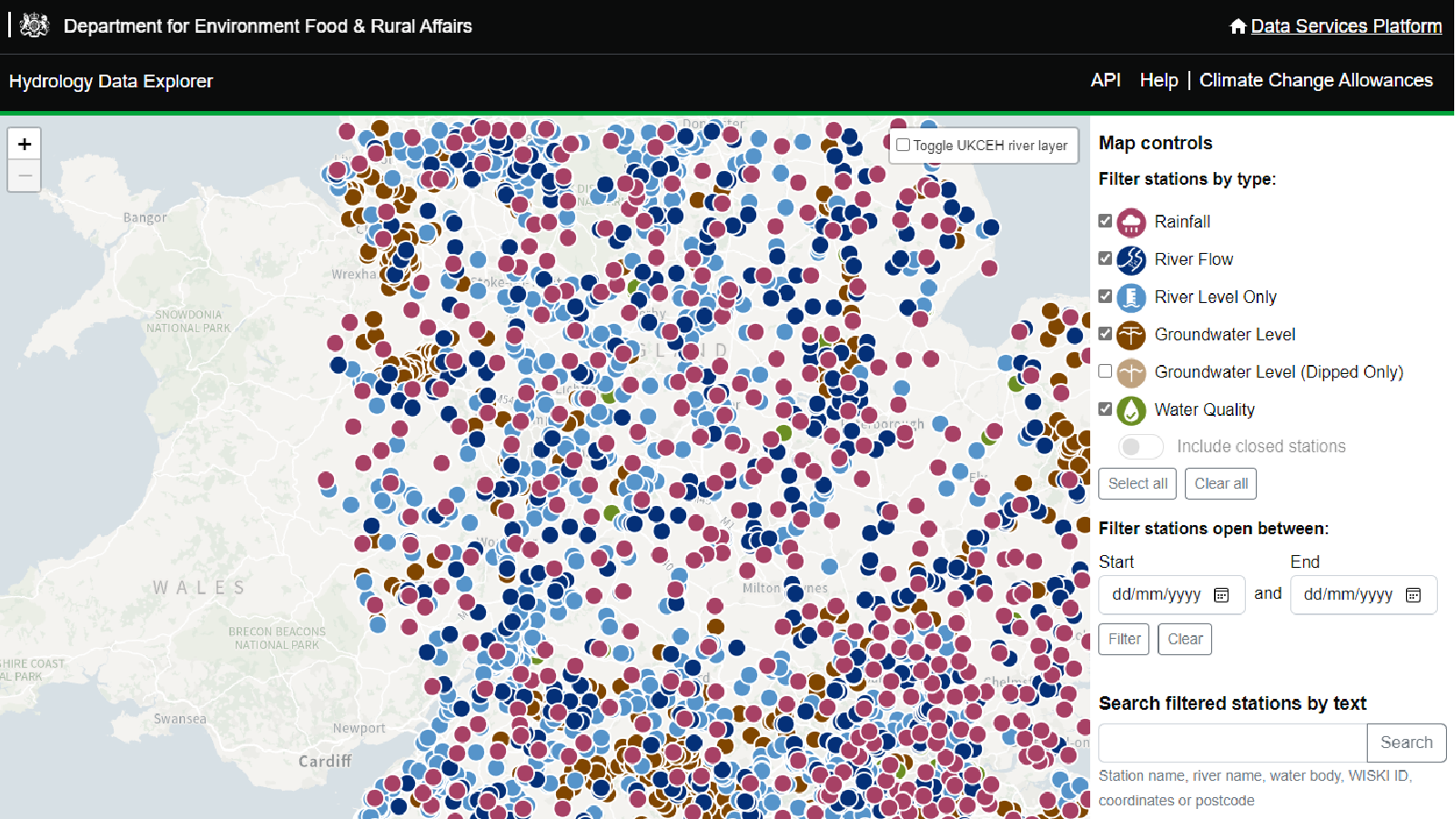
This
portal enables you to access live and historic hydrometric and continuous water quality data from the Environment Agency.
Ecology and fish data
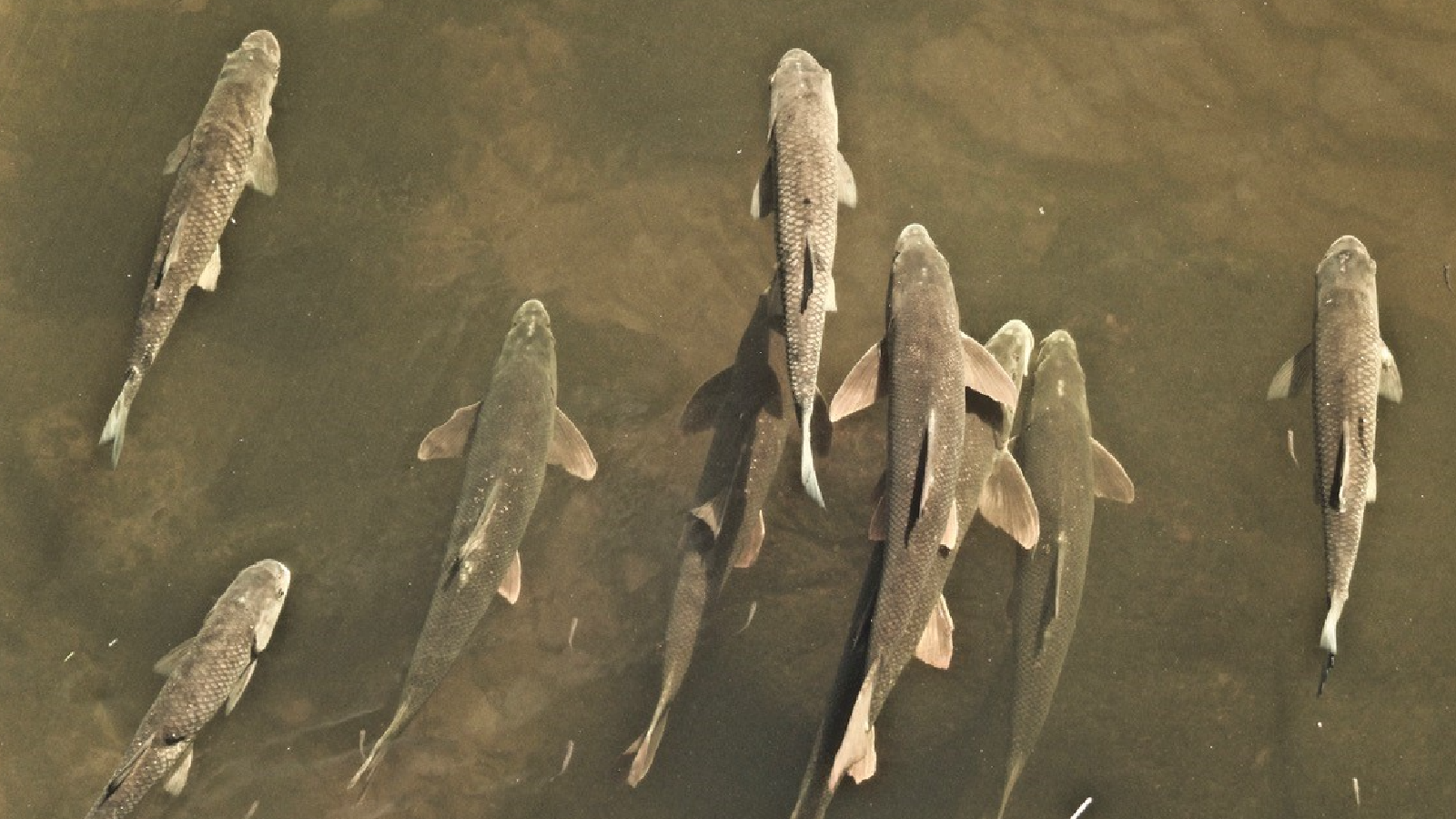
The data explorer can be used to search, filter and download the Environment Agency's fish and ecology open
data. By using the data explorer's filters, you can focus on the spatial area and time frame that you are interested in, and download the data.
 Water quality data
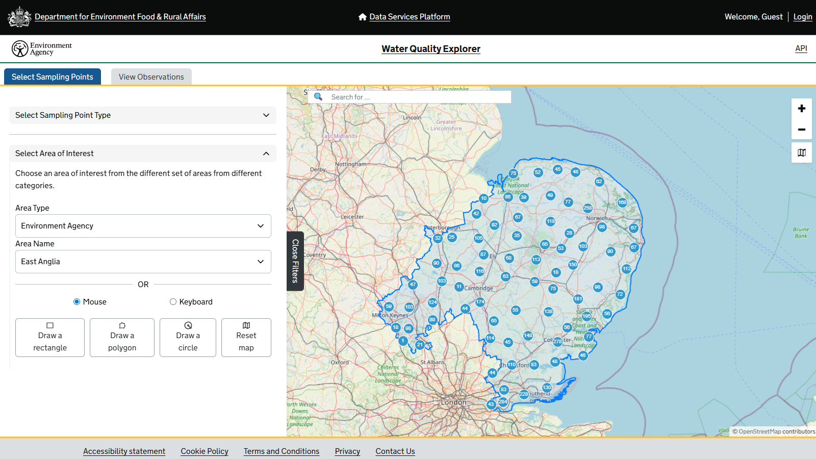
The Water Quality Explorer provides data on water quality measurements carried out by the Environment Agency. Samples are taken from sampling points around the country and then analysed in laboratories

GC-MS and LC-MS semi-quantitative screen
The Environment Agency uses semi-quantitative gas chromatography-mass spectrometry (GC-MS and LC-MS) targeted screening methods to analyse water samples for a wide range of substances at once. Explore the data.
We own and publish a wealth of data which can be accessed by the public. Find out more by exploring the links below.
Water Environment (Water Framework Directive) Regulations data release
Interested in the health of England's waters? Explore the latest results, understand what they mean, and discover how the evidence is used to target action and support improvements for rivers, lakes, estuaries and coastal waters.
Find out more about classifications and access the data here
Water Quality Explorer (WQE)
The WQE provides data on water quality measurements. Samples are taken at sampling points around England and can be from coastal or estuarine waters, rivers, lakes, ponds, canals or groundwaters.
Ecosystem Service Map Explorer (ESME)
The Ecosystem Service Map Explorer is a first-of-its-kind, open, and transparent online tool. It provides a powerful way to visualise whether rivers across England are ready to continue providing the services we need. Find out more.
Bathing water data
Water quality at designated bathing water sites in England is assessed by the Environment Agency. From May to September, weekly assessments measure current water quality, and at a number of sites daily pollution risk forecasts are made.
Storm overflows
Event duration monitors (EDM) record the frequency and duration of storm overflow spills. They are the primary source of data on the performance of storm overflows.
Catchment data
The catchment data explorer is designed to help you explore and download information about the water environment used in river basin management plans (RBMPs).
Hydrology data
This
portal enables you to access live and historic hydrometric and continuous water quality data from the Environment Agency.
Ecology and fish data
The data explorer can be used to search, filter and download the Environment Agency's fish and ecology open
data. By using the data explorer's filters, you can focus on the spatial area and time frame that you are interested in, and download the data.
Water quality data
The Water Quality Explorer provides data on water quality measurements carried out by the Environment Agency. Samples are taken from sampling points around the country and then analysed in laboratories
GC-MS and LC-MS semi-quantitative screen
The Environment Agency uses semi-quantitative gas chromatography-mass spectrometry (GC-MS and LC-MS) targeted screening methods to analyse water samples for a wide range of substances at once. Explore the data.
