
Butteryhaugh Flood Alleviation Scheme
The Environment Agency are committed to working closely with the community to better understand your concerns and share information about flood risk in Butteryhaugh, Northumberland. This page has been created to keep you informed, provide updates on the proposed scheme, and offer opportunities for you to engage with us throughout the process.

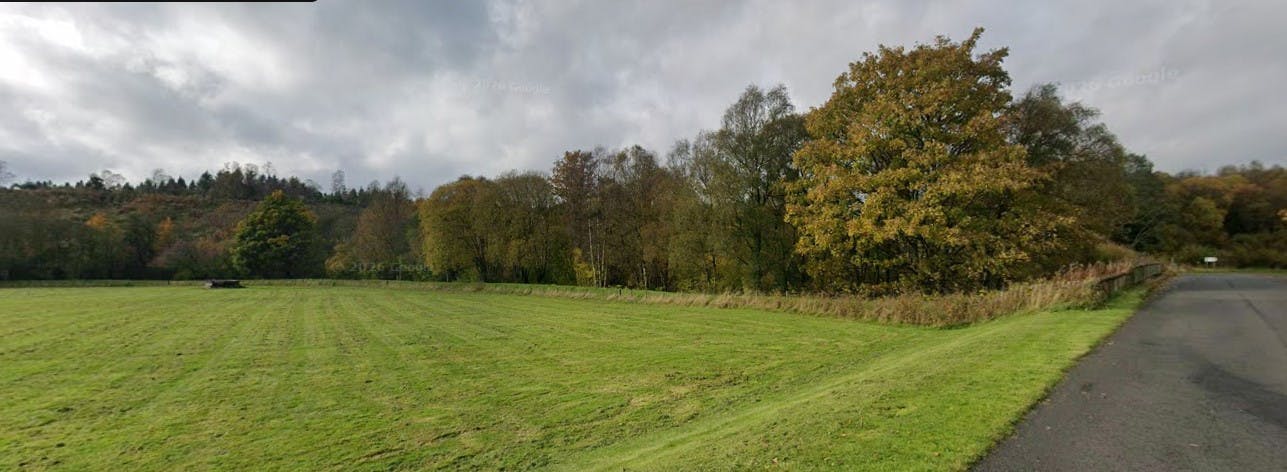
Butteryhaugh is a small village located at the confluence of the Kielder Burn and the River North Tyne. The village currently benefits from seven flood defence assets located on the left bank of the Kielder Burn and North Tyne. Despite these existing assets, the community has a recent history of flooding, with internal flooding to residential properties experienced during Storm Dennis in February 2020 and more recently during Storm Isha in January 2024. In addition, a number of these assets are considered unsafe to maintain for our staff due to steep sides and narrow crest widths.

As part of our work to date, we have:
- Looked at our existing assets to understand their current level of performance.
- Assessed the maintainability of the existing assets.
- Assessed the costs and benefits of a range of different flood risk management options.
The management options considered include refurbishing of existing assets and changing the asset type from an embankment to a flood wall where there are space constraints. We are also looking to install new defences upstream, preventing the Kielder Burn spilling out of bank and outflanking the existing defences.
The preferred option being taken forward aligns with what was displayed and discussed at the January 2025 engagement event and can be found on this online project page (see Overall General Arrangement Plan). The proposed scheme will provide the village with a much-improved standard of flood protection (a 1.3% chance of being exceeded annually) better protecting 43 residential properties and 10 non-residential properties from flooding.
The video above was captured by drone and presents an aerial view of Butteryhaugh, starting above the Border Park Rugby Club, travelling East to West above the Kielder Burn.
We want to keep you updated with what is happening and any opportunities for you to meet with us. Please:
- Check the news feed for updates
- Provide an answer to the quick poll question
- Come and join us at our next face-to-face community event (see details in the info and news section)
- Have a look at the FAQ's or get in touch using the provided contact details if you have any questions or feedback. We will continue to update this page as we progress through the project and associated works.
We will be offering other opportunities for you to participate, such as surveys, polls or other ideas... we'll keep you posted!


Thank you for your contribution!
Help us reach out to more people in the community
Share this with family and friends