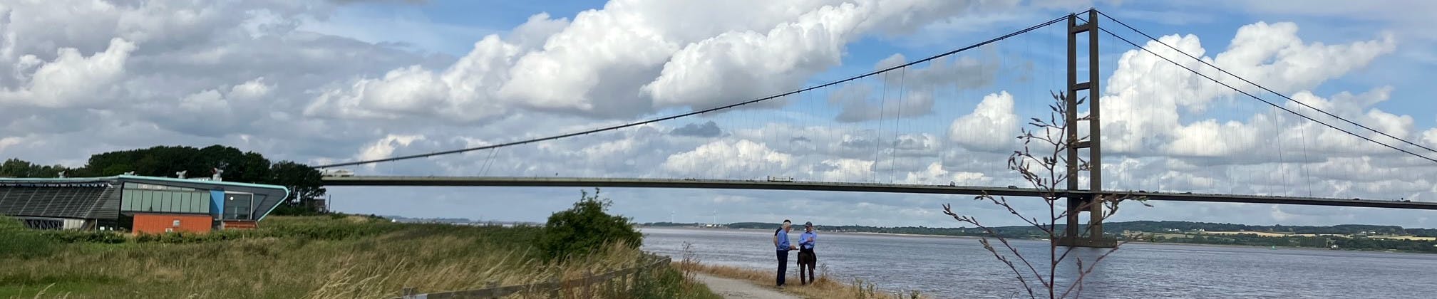
Barton to New Holland Tidal Flood Alleviation Scheme

Flooding is a long-standing problem for the communities of Barton, Barrow, and New Holland. Previous tidal flood incidents have impacted lives, businesses, and homes. Highlighting the need for improved tidal flood defences and for communities in the area to be better prepared. We are working with project partners to develop a sustainable approach to reduce the impacts of tidal flooding, which is adaptable and resilient to the impacts of climate change.
On this page you will find the latest project news and progress updates, details of the project objectives and how you can get involved.
Make sure to register to Engagement HQ to access the tools on this page, and subscribe to be added to the email list for this project.
The Barton to New Holland Tidal Flood Alleviation Scheme
Climate change is increasing the frequency and size of flood surges, a dangerous rise in water level, and therefore, we need to adapt and improve existing defences as well as build new defences to help increase resilience and reduce the impact of major tidal flood incidents. The Environment Agency is currently developing a new long-term strategy for managing flood risk around the Humber Estuary. The strategy provides an outline programme of the work needed to maintain the estuary’s flood defences for the next 100 years. One of the projects within this wider strategy is the Barton to New Holland Flood Alleviation Scheme.
The Scheme aims to develop an approach to alleviate tidal flooding, which has communities and sustainability at its core. The communities of Barton to New Holland have been identified as one of 27 areas where defences need to be improved. Tidal flood incidents such as on the 5th of December 2013, also highlight the need for improved tidal flood defences and increased community resilience within these areas. As a member of these communities or with interest in the area, we want to hear your experiences and insights to build our understanding of what's important to you.
We want to hear from you
We recognise the importance of involving local communities and stakeholders throughout this journey. Your experiences and insights are vital to shaping the scheme and ensuring it reflects what matters most to you. Explore our timeline on the right-hand side to see our progress and the steps ahead. You can also share your thoughts on the project and by commenting on our newsfeed or asking questions below.
- News | Check our newsfeed below to get updates on the latest ecology work, project meetings, and site visits and provide your own comments.
- Map | Let us know what you love about the area, any exciting ecology finds or let us know about an issue.
- Questions or Enquiries | If you have any questions about the scheme, use the form below, or contact us using the enquiries email provided.
- Events | Check back for updates on the next community events, coming Summer 2026.
-
Resilience Advisory Group
The Resilience Advisory Group (RAG) is a forum for dialogue between the project team and a range of stakeholders including local councils, organisations, and community groups that represent the interests of the community and the area. Each quarter a RAG meeting or update is held to update on project progress and to hear from the RAG membership.
We ran a successful Resilience Advisory Group meeting on 18 May. We discussed key topics including design and engineering updates, and the range of past and ongoing environmental and ecological surveys.
Design and Engineering | Detailed design is progressing well, with embankment design work already well underway. Property Flood Resilience measures are also moving into the next stage, being delivered in partnership with North Lincolnshire Council. Meanwhile, investigations into potential additional structures at New Holland Drain and Foster’s Wharf continue, alongside the development of options for possible additional works at Barrow Haven.
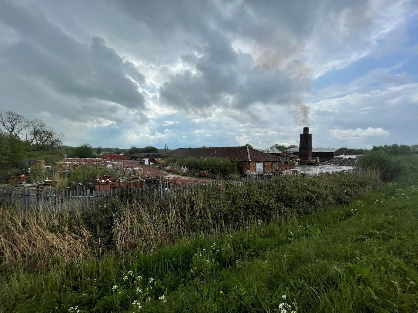
Environmental and Ecological Surveys | The surveys completed so far include Badger and Bat surveys, Heritage Assessments and UK Habitat Surveys. Findings from the heritage survey further highlighted the interesting and diverse heritage, including claypits, brick and tile making, designated and non designated heritage assets in the area.

-
Successful FloodMobile event held at Barrow Haven

As advertised previously, the team held an event at Barrow Haven on March 23rd for the local community to visit and interact with the FloodMobile. This allowed them to learn more about the flood resilience products available as part of the Property Flood Resilience (PFR) measures, provided by a substantial contribution from North Lincolnshire Council.
We had a good attendance from the local community, who came down keen to learn more and understand what the scheme has to offer them and how they can prepare their properties for better flood resilience. We enjoyed meeting with locals and look forward to seeing these PFR measures progressively installed, hopefully throughout 2026/27.
For those unaware - as part of the planned flood alleviation scheme, properties in Barrow Haven and other certain isolated properties are eligible for such property flood resilience measures. These measures will be funded and delivered by the Environment Agency in partnership with North Lincolnshire Council, to protect against flooding.
If you were unable to attend, more information about the FloodMobile is available at: https://floodmary.com/the-floodmobile/
-
Shine Lincolnshire Flood Resilience and Mental Wellbeing Roadshow

The project team attended the SHINE Lincolnshire Flood Resilience and Mental Wellbeing roadshow event at Ropewalk, Barton on 12th March. Alongside colleagues from the Humber Strategy team and the local Flood Resilience team, the project team were happy to be able to update community members on project progress and give them the opportunity to learn more about the proposals, next steps and to ask any questions.
The Shine Lincolnshire Flood Resilience and Mental Wellbeing roadshows are being held around Greater Lincolnshire and aim to help locals prepare for, respond to & recover from flooding—practically & emotionally. Given how interlinked the project is with this topic, it was essential for the team to attend and let the community know what is being done to reduce their flood risk now and in the future.
-
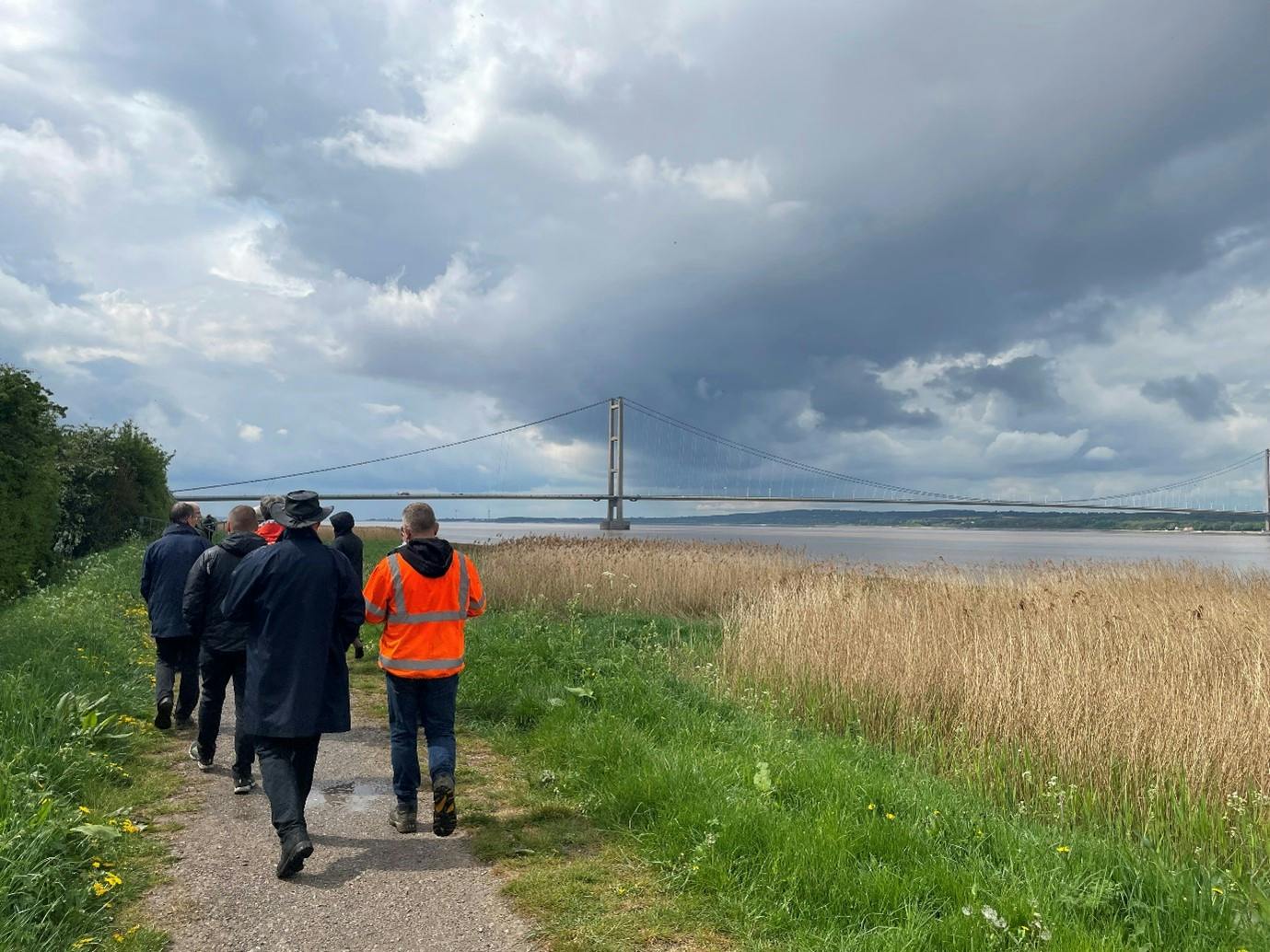
Project team site visit to investigate further resilience options

On 3rd of March 2026, the wider Barton to New Holland project team undertook a site visit across the project area to investigate opportunities to enhance the flood resilience provided by the project.
The site visit identified it might be possible to incorporate additional structures at New Holland Drain at Lincoln Castle Way, to better protect the residents and village should flood water overwhelm the existing Humber defences. Also to build an extra line of defence at Foster’s Wharf to better protect the ecologically sensitive sites near the sailing club.
Much of the focus of the day was to understand the challenges and possibilities to incorporate extra flood residence into the existing embankments at Barrow Haven, by incorporating additional repair works within the project. The high-level options to relocate the tidal outfall downstream were also re-examined. These were consolidated during a workshop later in the day at Water’s Edge.
By working collaboratively together, the local Environment Agency staff, project management team, consultants and contractors can consider the significant challenges and costs involved with all of the options. These will be explored further in the coming weeks, before any conclusions are determined.
-
Upcoming event March 23rd 2026 - FloodPod

We invite you to visit the FloodPod between 14:00 and 18:00 on March 23rd to learn more about the flood resilience products available as part of the PFR scheme offered by the Environment Agency.
The FloodPod is an interactive space where you can see real flood protection measures in action, where flooding advisor Mary Long-Dhonau OBE (Flood Mary) will be on hand to answer questions and give advice.
As part of the planned flood alleviation scheme in Barrow Haven, certain properties are eligible for property flood resilience (PFR) measure. These measures will be funded and delivered by the Environment Agency in partnership with North Lincolnshire Council, to protect against flooding.
What’s Inside the FloodPod?
- See flood resilience products
- Learn how these can better protect your home from future flooding
- Get expert advice tailored to your property
- Ask questions and get support from Flood Mary, RAB, Whitehouse and the Environment Agency
For more information about the FloodPod, please visit https://floodmary.com/the-floodmobile/
-
Environmental Updates

Ecology surveys | We have been busy undertaking further ecological surveys over the last few months.
Badger surveys, together with bat roost and tree assessments were completed in January. Badger surveys were focused on the European Badger Meles meles and the bat roost surveys cover all native species in the UK (there are 18!).
We still have some further surveys to complete over the year, including further bat surveys, riparian mammal habitats and invertebrates.
As part of the invertebrate surveys scheduled in June and September, we are aiming to trial a Habitat Suitability Index (HSI) for Sea Aster mining bees developed by biodiversity specialists within the Environmental Agency.
Additional Environmental Considerations | The Humber is an area of ecological value, with designations of international importance. The designated habitats and species within are significant considerations for the project. To capture the baseline condition and identify potential impacts of the scheme, we are undertaking the following:
- Baseline noise assessment to establish the existing noise environment and identify potential affects during construction and operation to both human and ecological receptors.
- Ecological surveys (in addition to those identified above) including water vole, otter, breeding birds and invasive non-native species.
- Assessments of the historic environment and heritage in the study area.
- A review of land quality to identify information relating to historical site uses, ground conditions and risk of contamination.
-
Design & Engineering Update

Ground investigation works have been completed, including the drilling of several boreholes across the site. The resulting ground condition information is now being assessed and will inform the design of the coastal defence improvements.
Specialist inspections of the existing flood walls and coastal revetment have also been carried out. These detailed condition assessments will determine how the current structures can be adapted or improved to meet the project’s requirements.
In parallel, design work for the embankment raising and reprofiling has commenced. This follows the completion of a full topographical survey, which has provided essential information on existing site features and ground levels needed to progress the detailed design.
-
Property Flood Resilience

We have also received good news regarding funding to support installing Property Flood Resilience measures during financial year 2026/2027, following productive meetings with Councillors from North Lincolnshire Council.
It is envisaged that a contribution of £500k from North Lincolnshire Council will enable early installation of Property Flood Resilience measures to manage the residual risk to around 50 vulnerable properties. These could include flood doors; air brick covers and one-way drainage valves.
The necessary funding agreement and contract procurement are underway, with property surveys envisaged to commence from Spring 2026.
There is also the possibility that a further funding contribution will be made available towards further defence resilience measures forming part of the Full Business Case.
-
Project progress

The Full Business Case contract with Arup’s team commenced at the end of December 2025. Early design planning including topographic, services and asset inspection surveys, geotechnical modelling, constraints mapping, will provide the foundation for the production of the detailed design drawings and specifications throughout the spring/summer.
Most environmental surveys are also planned for spring and summer '26, but preliminary bat and badger surveys have already taken place, as well as a baseline noise assessment.
After the detailed design is complete later in 2026, further environmental assessment will be undertaken. This is necessary to assess and manage impacts during construction, before the full business case is submitted for assurance.
We anticipate holding a series of community engagement events following the completion of the detailed design to provide an update of our proposals.
Funding update | We have now received confirmation that the project has been allocated £750k to continue through to the 2026/27 financial year. Although less than requested, it nevertheless allows the project to continue at its current pace and to make good progress.
Project Timeline | The Full Business Case is envisaged to be approved in summer 2027. This should enable preparation works to commence in late 2027. Phased construction is expected in 2028 with completion by late 2029.
Next Steps | The next key steps are:
- Ongoing ecological surveys
- Design Stage 1 review
- Progress Stage 2 design tasks, including earthworks modelling, specification preparation, drawings and design report.
Enquiries

Photos


Newsletters
-
 Newsletters
-
 Barton-New Holland Issue 10- May 2025 (1.8 MB) (docx)
-
Barton-New Holland Issue 9- December 2024 (1.67 MB) (docx)
-
Barton-New Holland Issue 8- August 2024 (2.34 MB) (docx)
-
Barton-New Holland Issue 7- March 2024 (704 KB) (docx)
-
Barton-New Holland Issue 11 Nov 2025.pdf (616 KB) (pdf)
-
Barton-New Holland Issue 12 March 2026.pdf (777 KB) (pdf)
-


Sign Up for Flood Warnings
