
River Basin Management Plans
Working together to protect and improve England’s rivers, lakes, estuaries, coastal waters and groundwater.
Water is essential for people, wildlife and the economy. River basin management plans bring together the evidence, environmental objectives and actions needed to protect and improve the water environment. They help the Environment Agency, government, businesses, local authorities, land managers, environmental organisations and communities work towards shared outcomes.
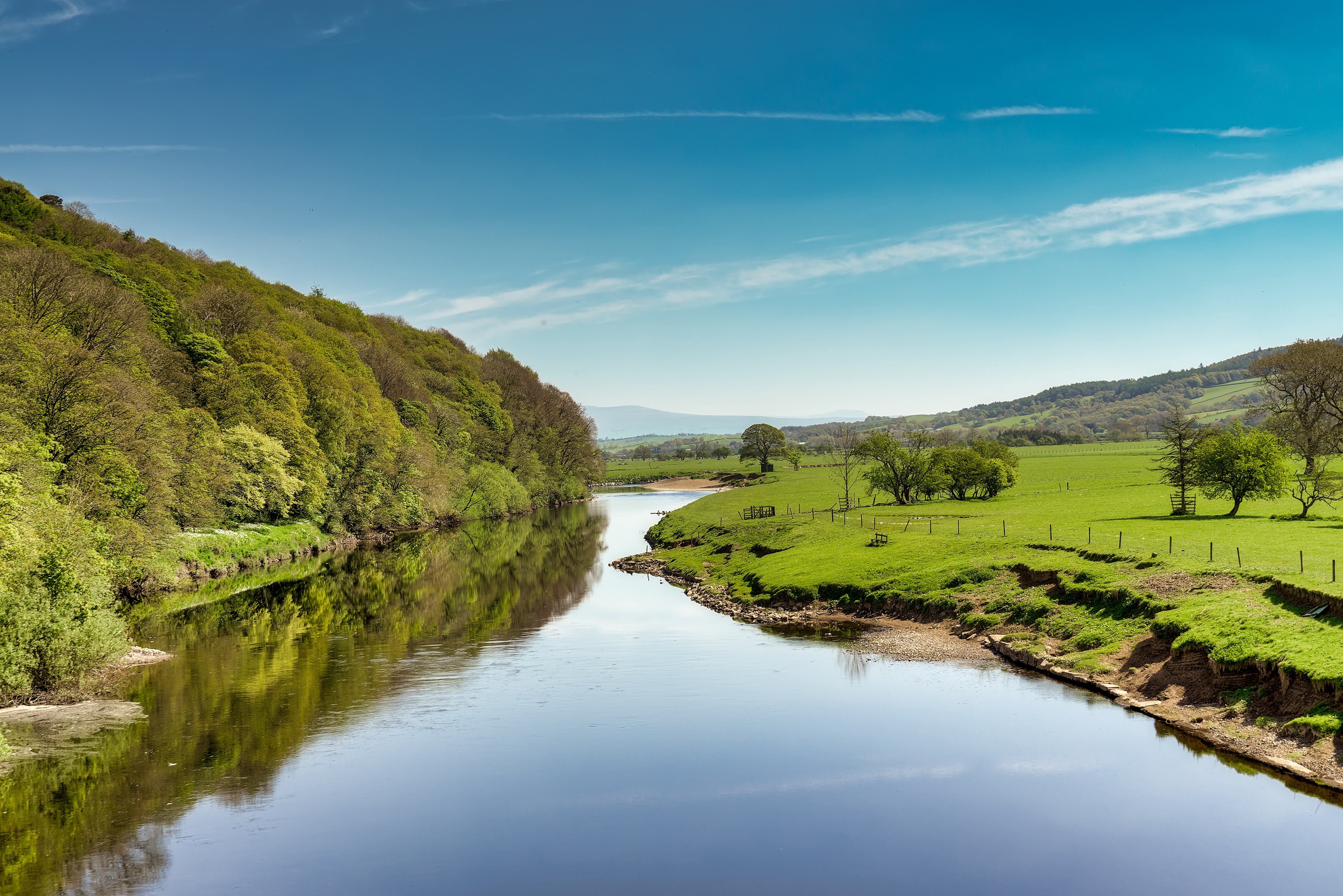 The River Lune near Lancaster.
Latest update, 12 November 2026:
The next draft river basin management plans and the first detailed water body programmes of measures will open for public consultation on 21 December 2026.
What is a river basin management plan?
A river basin is an area of land where rain and water drain through streams, rivers and lakes into the sea at a single river mouth or estuary. The water environment within a river basin is connected, so decisions made in one place can affect people and nature elsewhere.
A river basin management plan is the statutory plan for protecting and improving the water environment in a river basin district. A river basin district is a river basin, or several river basins, together with the associated coastal waters. England has a plan for each river basin district that lies wholly or partly within England.
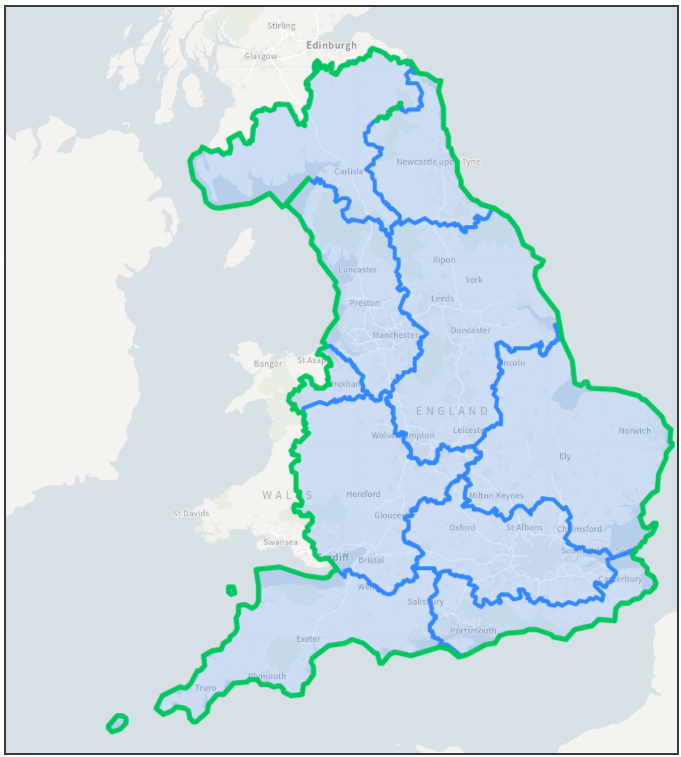 Map of England showing river basin districts.
describes the current condition of the water environment and the main pressures affecting it
sets environmental objectives for rivers, lakes, estuaries, coastal waters and groundwater
summarises the actions needed to protect water and make improvements
provides evidence to support regulation, investment and land-use planning
helps organisations and communities coordinate action across whole catchments, from river source to sea.
The Environment Agency prepares the plans, and the Secretary of State for the Environment approves them. The plans are reviewed and updated every six years.
The next updated plans are due to be published by 22 December 2027. The Environment Agency is currently preparing these updates for public consultation later in 2026.
For planning and assessment, river basin districts are divided into smaller units called water bodies. A water body can be a stretch of river, a lake, an estuary, an area of coastal water or a volume of groundwater. Environmental objectives and the measures needed to achieve them are identified for individual water bodies.
What is a programme of measures?
A programme of measures sets out the actions needed to tackle the pressures affecting the water environment for a particular water body. The plan explains the environmental outcomes we are aiming for and the programme of measures identifies what needs to happen to achieve them. It shows where measures are needed, who could help deliver them, and where investment could provide the greatest environmental benefit.
Measures can include regulatory action, investment, practical improvements, advice, incentives and voluntary action. A range of organisations, sectors or individuals may deliver measures. Depending on the measure, this could include: the Environment Agency, water companies, local authorities, farmers and land managers, businesses, environmental organisations, community groups and other partners, and individuals.
In 2027, we will publish:
water body programmes of measures for the first time, showing the measures needed for individual water bodies and protected areas to meet their objectives
a summary programme of measures for each river basin district, giving an overview and the proposed response to the main water management issues. The summary will be part of the river basin management plan.
How river basin planning works
River basin planning is an ongoing cycle:
1. Evidence: understand the condition of the water environment.
2. Diagnosis: identify the pressures and reasons why objectives are not being met.
3. Actions: agree the measures needed to protect water and make improvements.
4. Monitoring: track changes and learn what is working.
5. Update: review the evidence, objectives and actions in the next plan.
Upcoming consultations
We will launch two separate but connected public consultations. You can respond to either or both, depending on your interests and experience.
We will add links to this page when they open on 21 December 2026.
The draft river basin management plan consultation
This consultation looks at the overall ambition for each river basin district, including environmental objectives and the summary programme of measures. It is most useful if you are interested in the bigger picture across a river basin district, sector or region. It opens on 21 December 2026 and closes on 21 June 2027.
The water body programmes of measures consultation
This consultation looks at the specific measures proposed for every individual water body. It is most useful if you have local knowledge, evidence or experience of what can be done in a particular place. It opens on 21 December 2026 and closes on 21 March 2027.
What we would like to hear from you
Your feedback can help us:
check whether the proposed environmental objectives and measures are appropriate
identify additional measures or evidence based on your local knowledge
understand practical opportunities and barriers to taking action
see where responsibilities, funding or ways to carry out the measures need further work
improve the final plans and programmes of measures before publication in December 2027.
Testing ways to plan local water environment improvements: Enhanced Catchment Systems Planning
We tested a more collaborative way to develop programmes of measures for individual water bodies through the Enhanced Catchment Systems Planning pilots. These trial projects covered two contrasting catchment areas. A catchment is the area of land that drains into a river or another body of water. We brought together local knowledge, scientific evidence and information about costs and benefits to develop and compare possible actions for each place.
The pilots used participation, system mapping, existing modelling and economic assessment to narrow a long list of possible measures into different combinations for individual water bodies. We will use the findings to inform decisions on programmes of measures and future catchment planning. The reports do not mean that every measure described has been agreed, funded or will go ahead.
The two pilot areas
Blackwater and Colne in Essex: this pilot covered rural headwaters, towns, estuaries and coastal waters, from river sources to the sea. It built on existing local partnerships and maps showing how activities, problems and possible actions connect across the catchment. The pilot considered sustainable farming, river and floodplain restoration, ponds that store water running off the land, and urban and road drainage. It also considered treatment wetlands, rainwater harvesting and joint action by different sectors. The report recommends a combination of measures, with a focus on restoring the catchment and collaboration between sectors.
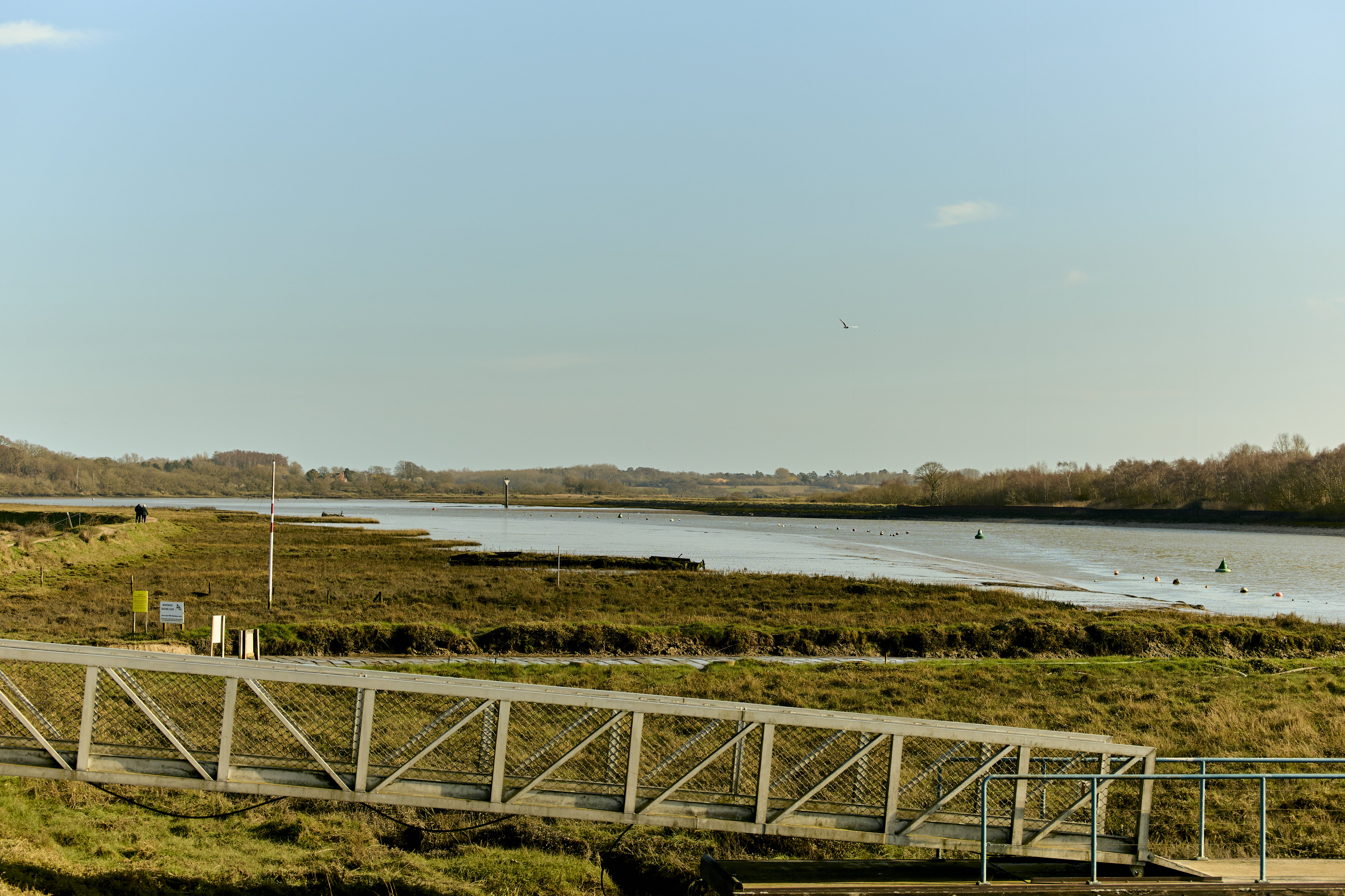 Colne river estuary, Essex.
Upper Arrow and Lugg in the Wye catchment: this mainly rural pilot covered 12 water bodies upstream of the River Wye Special Area of Conservation. It explored ways to reduce phosphate and sediment pollution (excess nutrients and soil particles entering the water) from rural land management. It also considered actions to address other problems affecting the water environment. We engaged with the Wye Catchment Partnership, surveyed 29 farmers and held discussions with the poultry sector. Participants held different views about the evidence and measures. The pilot developed an option combining measures from different approaches. Limits on the available evidence, time and data meant that we could not compare some combinations fully. Further research and work to develop the options are needed before the programme of measures is finalized.
What the pilots found
The two pilots tested the approach in different local conditions. They highlighted the importance of bringing together people, science and economics in catchment planning:
people: involving those who know, use and manage the catchment, while recognizing where some groups are under-represented or hold different views
science: using monitoring, mapping and modelling, while explaining the data, assumptions, limitations and uncertainty behind the results
economics: comparing costs, benefits, funding options and compromises between different outcomes, including important effects that cannot yet be valued in money.
The pilots showed the value of building on existing local plans, involving relevant groups early and considering benefits beyond water quality. These include reduced flood risk, more resilient water supplies, healthier habitats and sustainable food production. Established relationships can support collaborative planning. In catchments where views differ, planners may need more time, wider representation and an agreed approach to evidence before finalizing options.
Read the pilot reports
