Local flood risk
How flood risk is changing
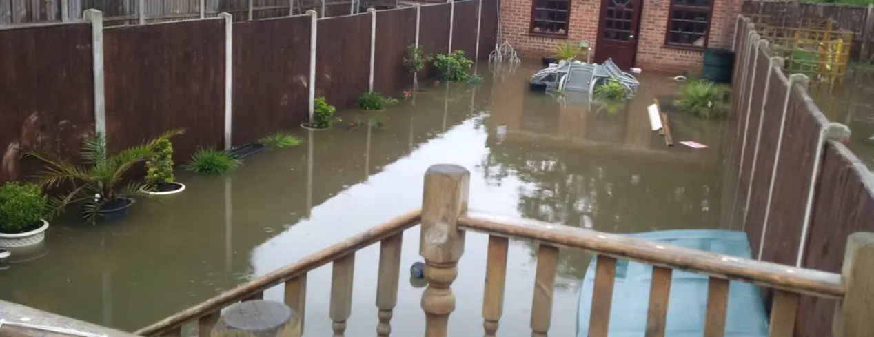
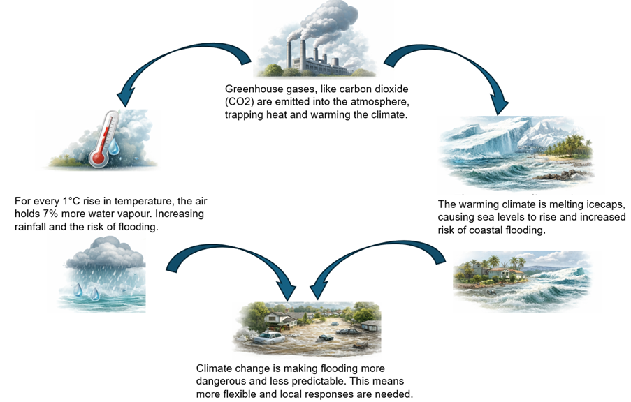
Climate change is causing more extreme and unpredictable weather patterns, increasing the risk of flooding. Local responses are, therefore, increasingly more important.
We are here to help local residents and businesses take more control of flood risk and reduce its impact. Meaning you get back to normal as quickly as possible.
What is Havering's flood risk?
Havering's flood risk
Flooding in Havering comes from several sources, including rivers, surface water, tidal and sewers. The highest risk is from surface water flooding (also known as flash flooding). There are around 24,000 properties at risk of surface water flooding in Havering.
Main river flood risk comes from the Rom and Ingrebourne. Tidal flood risk comes from the Thames.
Surface water flooding, flash flooding, happens when heavy rain cannot drain away. Recent data shows that over 320,000 properties in London (link opens a new window) are at high surface water flood risk.
We encourage you to check your flood risk (link opens a new window) and know how to prepare.
What is going on to reduce local flood risk?
River Rom webcam: Through the UK Shared Prosperity Fund, Havering council has set up 5 cameras to monitor water levels at key locations in Romford. Three of these cameras monitor high-risk culvert trash screens: one at Lodge Farm Park on Black’s Brook, and two on Parkside Stream at North Street and Seymer Road. These cameras reduce the need for routine site inspections, help identify blockages sooner and means the council can deploy their maintenance teams more efficiently.
Highway Sustainable Drainage Systems (SuDs): The council has begun a long-term project to install rain gardens across the borough, to reduce the amount of water entering the surface water system. Click here to find out more.
How can I learn more about flood risk?

The British Red Cross offer online and in person workshops to build your confidence, knowledge and skills so you know what to do before, during and after a flood.
Who is responsible for managing local flood risk?
Roles and Responsibilities
Havering's flood risk is complex, and who is responsible for managing the different causes of flooding is also complicated. To help, we have teamed up with Havering Council to create this breakdown of responsibilities. Please note, by responsible we refer to managing the flood risk and not responding to incidents, this falls to the emergency services.
| Authority | Responsibility |
| The Environment Agency | Manages flood risk from Statutory Main Rivers, like the Rom and Ingrebourne. Report urgent environmental concerns using our Emergency Hotline: 0800 80 70 60. |
| Havering Council Highways | Responsible for managing and clearing drains on public roads. Report blocked drains here: Drains, flooded roads, rivers and streams | Hazards, pollution and flooding | London Borough of Havering (link opens a new window) |
| Thames Water | Responsible for public sewers and drains. See Thames Water's website (link opens a new window) for information on avoiding blockages. Contact Thames Water on 0800 316 9800 to report sewer flooding. |
| Anglian Water | For Upminster, Cranham and North Ockendon, contact them on 03457 145 145 for foul and surface water sewers and drains or click here. |
| Essex and Suffolk Water | Contact them on 0800 526 337 for leaking and burst water mains or pipes or click here. |
What is Havering's flood history?
Havering has experienced significant flooding in the past. These events came from a variety of sources and caused road closures, property damage, and major disruption. We encourage everyone to check their flood risk, so you know what your flood risk is and how to prepare.
In the last 20 years, Havering has seen 6 significant flood events (meaning flood water entered people's homes). You can more out here